
Tso Kar: Saline Lake and a High-altitude Wetland Complex
Tso Kar is a saline lake in Ladakh's high-altitude Changthang landscape.
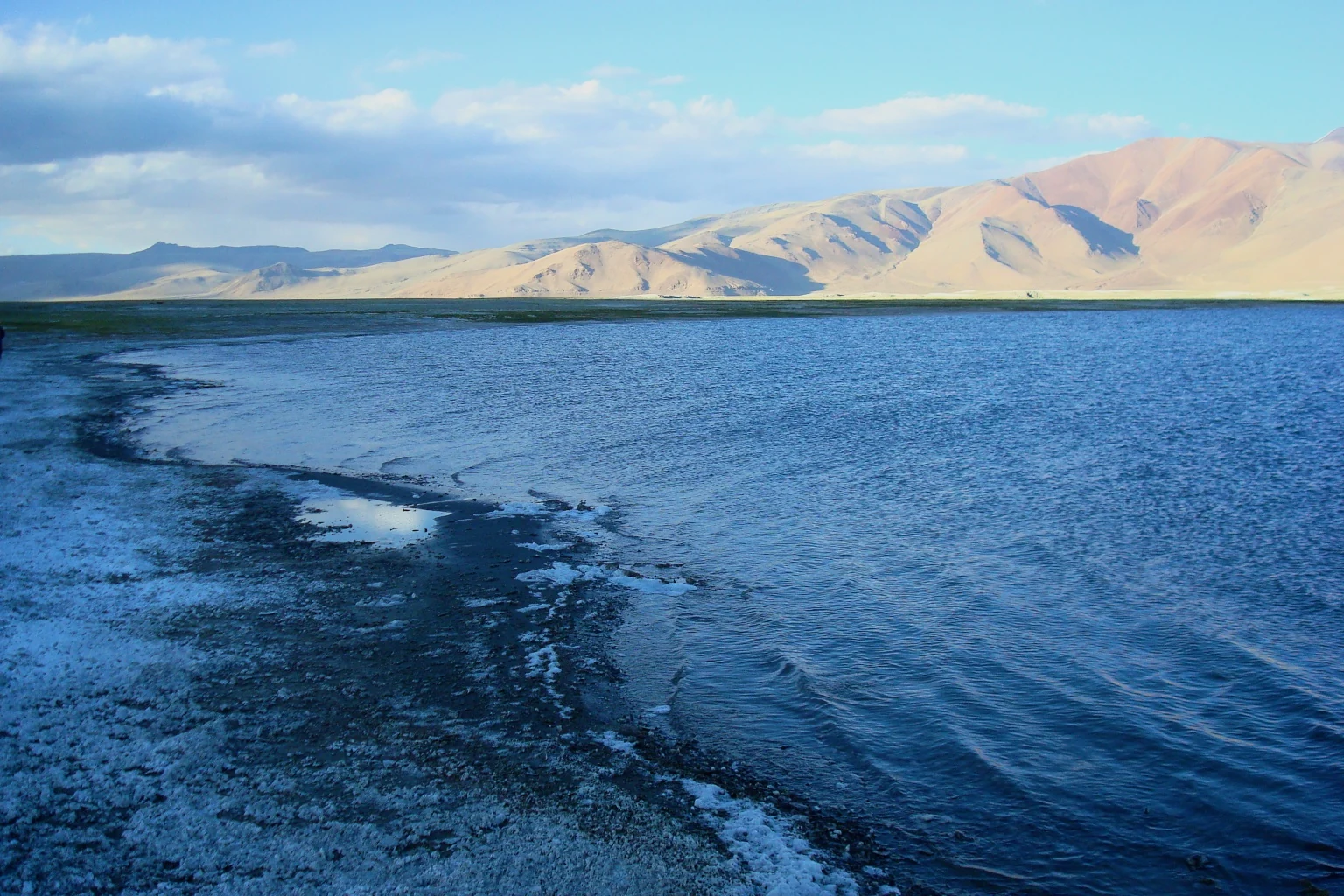
Tso Kar is a saline lake in Ladakh's high-altitude Changthang landscape. It is part of the Tso Kar Wetland Complex, which includes the freshwater Startsapuk Tso as well as the larger, more saline Tso Kar. The complex is recognised under the Ramsar Convention. Calling it simply a salt lake leaves out the relationship between its different waters and the adjoining marshes.[1]
Two waters in one complex
The Convention on Wetlands describes the site as lying above 4,500 metres and identifies the two connected lakes. Snow and glacial meltwater contribute to the system, while evaporation and dissolved salts help explain the contrasting water chemistry. The site supports high-altitude bird habitat, including the black-necked crane. These features make the wetland significant beyond its dramatic visual appearance.[1]
The name Tso Kar is associated with the pale salt deposits around the lake's margins. Historical accounts describe salt extraction and exchange by Changpa pastoral communities. The shoreline and its colour can vary with water levels and conditions, so a photograph of exposed salt should not be taken as a fixed map of the lake or evidence of its depth.[2]
A worked and inhabited landscape
Pastoral history is important to understanding the area. Grazing, settlement and movement form part of the regional story rather than appearing only after tourism arrived. At the same time, a general account of Changpa livelihoods cannot explain the circumstances of every household. Descriptions should distinguish regional practices from a dated observation of a particular community.
The two-lake structure also creates a useful ecological comparison. A saline basin, freshwater waterbody and marshy margin can support different conditions even within the same protected complex. Treating them as one uniform surface hides the processes that make the wetland distinctive. The Ramsar site record, rather than a general tourist map, is the appropriate starting point for boundary and management questions.
Read alongside Tso Moriri and Pangong Tso for contrasts among Ladakh's lakes. The Hanle observatory illustrates another way in which the high-altitude environment is studied. This entry's marker is an orientation point; it does not designate an authorised campsite or wildlife-viewing route.
Photograph and map record
Photograph: GerthMichael via Wikimedia Commons. Licence: CC BY-SA 3.0. Recorded capture date: 2012-06. Resized and converted to WebP; scene content unchanged. This is a dated view, not confirmation of the site’s present appearance.

Map marker: 33.3, 77.98333333. Representative location from the secondary geographical record, not a surveyed boundary or verified visitor entrance. View location on OpenStreetMap · View Google Maps · Google directions · OpenStreetMap directions.
Research checked: 14 October 2026. For a visit, confirm current access, transport and opening information with the relevant authorities. This encyclopedia profile provides geographical and historical context.
Sources & references
[1] Convention on Wetlands: Tso Kar Wetland Complex designation
https://www.ramsar.org/news/india-adds-high-altitude-wetland-complex-ramsar-list ↗
[2] Tso Kar: secondary geographical and salt-history overview
https://en.wikipedia.org/wiki/Tso_Kar ↗
Photograph and licence
Related reading
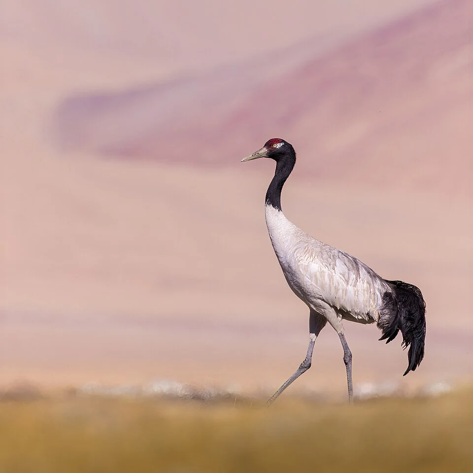
Black-necked Crane: Wetland Breeding Habitat in Ladakh
The black-necked crane is an important bird of Ladakh's high-altitude wetland landscapes.
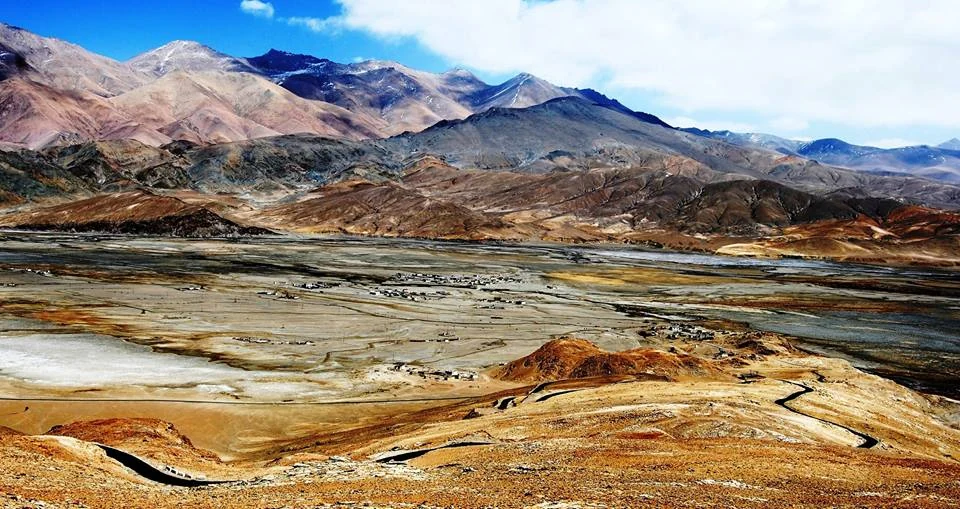
Hanle: Settlement, Monastery and the High-altitude Night Sky
Hanle is a settlement in the high-altitude Changthang region of Ladakh, in the valley of the Hanle river.
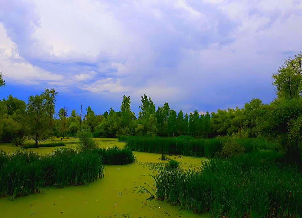
Hokersar: Wetland, Migratory Birds and Valley Water Systems
Hokersar, also recorded as Hokera Wetland, lies in the Kashmir Valley near Srinagar.