
Zoji La: A Mountain Pass between Kashmir and Ladakh
Zoji La is a mountain pass linking the Kashmir Valley with the Drass-side approach to Ladakh. The Srinagar–Leh road corridor crosses it between markedly different valley landscapes. The pass is a geographical feature, while its road, traffic arrangements and nearby tunnel works have their own infrastructure histories.
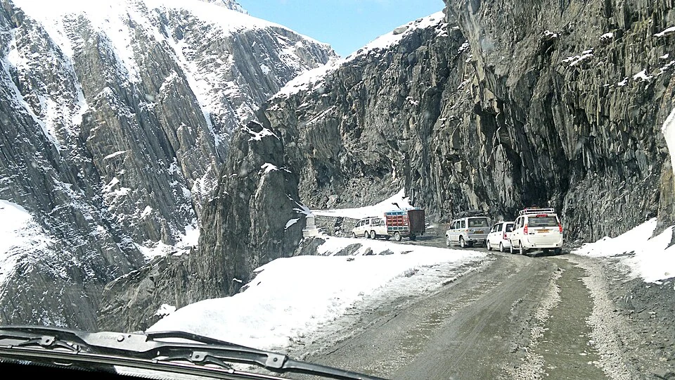
Zoji La is a mountain pass linking the Kashmir Valley with the Drass-side approach to Ladakh. The Srinagar–Leh road corridor crosses it between markedly different valley landscapes. The pass is a geographical feature, while its road, traffic arrangements and nearby tunnel works have their own infrastructure histories.[1]
A gateway across the mountains
The Kargil administration identifies Zoji La as a gateway on the Kashmir approach. Older district descriptions may use Kargil for the eastern side, while the encyclopedia's present district framework also includes Drass. The administrative label and the physical mountain crossing are different layers of information.[2]
Reference accounts describe the pass through its relationship with Kashmir to the west and the Drass and Suru corridors farther east. A map point identifies the crossing, but the actual road follows slopes and bends that a point alone cannot explain.[1]
Pass, road and tunnel
A mountain pass remains a landform even when an alternative tunnel changes travel. The status of tunnel construction or opening requires a current official record. This profile does not convert an older statement that work was underway into an assertion of present operation.
Road photographs also need dates. Snow, exposed slopes and traffic visible at one moment do not establish year-round conditions. A historical route description can explain significance while leaving current road opening and movement controls to the responsible authority.
The transition between valleys helps explain the pass's place in regional travel. It is more informative to connect the crossing with named settlements and drainage corridors than to describe it only through a dramatic elevation or a “highest” claim.
Read Sonamarg, Baltal and Drass for the adjoining settings. Fotu La is a separate pass farther along the western Ladakh corridor. The marker locates Zoji La for orientation; it does not guarantee an open road, permitted stopping place or a currently suitable approach. The Ganderbal association is an editorial filter for a crossing at the Kashmir–Ladakh interface.
Image and map record
Image: Anwaraj via Wikimedia Commons. Licence: CC BY-SA 3.0. Recorded capture date: 2012-05-23 09:45:22. Resized and converted to WebP; image content unchanged. This is a dated view, not confirmation of the site’s present appearance.

Map marker: 34.27888889, 75.47194444. Source-recorded location for orientation; not a surveyed boundary, verified public entrance, current access guarantee or authorised stopping point. View location on OpenStreetMap · View Google Maps · Google directions · OpenStreetMap directions.
Research checked: 14 October 2026. For a visit, confirm current access, transport and opening information with the relevant authorities. This encyclopedia profile provides geographical and historical context.
Sources & references
[1] Reference overview: Zoji La
https://en.wikipedia.org/wiki/Zoji_La ↗
[2] Kargil administration: mountain gateways
https://kargil.nic.in/about-district/ ↗
Image and licence
https://commons.wikimedia.org/wiki/File:Zoji_La_-_Jammu_And_Kasmir.jpg ↗
Related reading
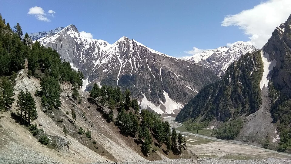
Baltal: A Valley Camp and Pilgrimage Approach near Sonamarg
Baltal is a valley camp area near Sonamarg in Ganderbal district, widely associated with an approach to the Amarnath pilgrimage. The place and the sea
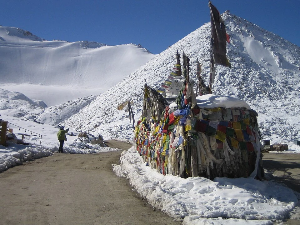
Chang La: A High Pass on the Route towards Pangong
Chang La is a high mountain pass in Ladakh on the road corridor towards Durbuk, Tangtse and Pangong. It connects the Leh-side approaches through Karu
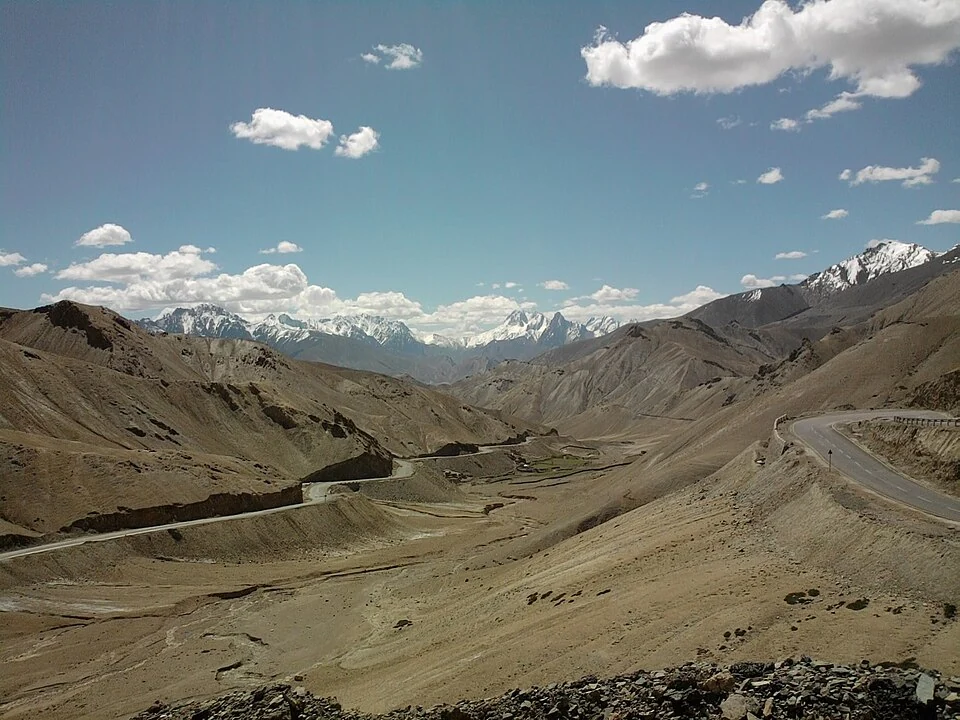
Fotu La: A High Pass on Ladakh’s Western Road Corridor
Fotu La, also written Fatu La, is a mountain pass on the Srinagar–Leh road corridor in western Ladakh. It lies near the approach to Lamayuru and forms