
Verinag Spring: Water, Mughal Architecture and the Jhelum
A spring framed by Mughal stonework and garden design, conventionally identified with the Jhelum’s source.
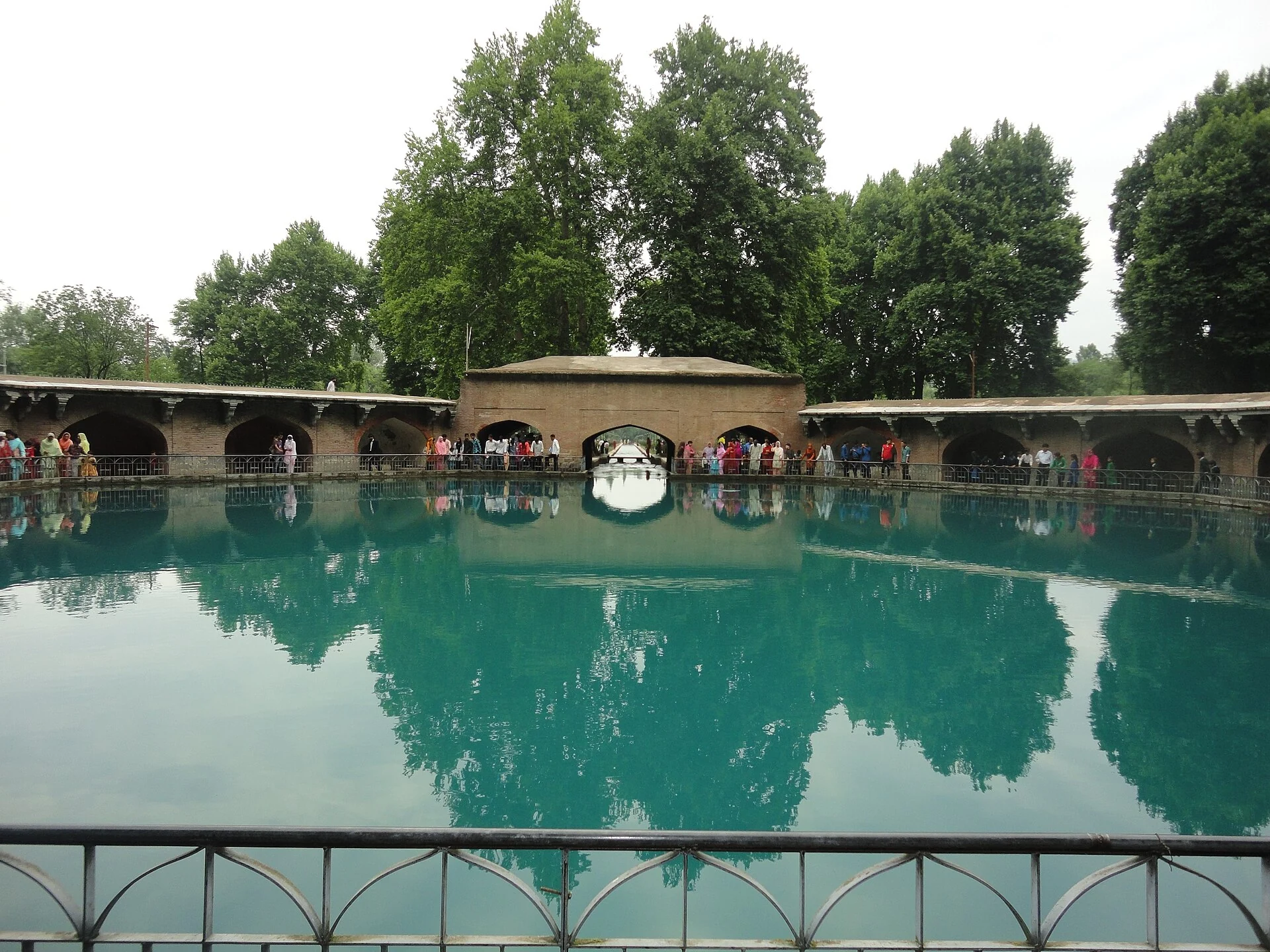
Verinag Spring is a celebrated spring and Mughal-built water enclosure in Anantnag district. The place brings natural water emergence into a strongly architectural setting: an octagonal basin, stone arcade and garden make the spring legible as a planned landscape. The spring, the adjoining garden and the town of Verinag share a name, but they should be distinguished when describing location or history.[1]
Water enclosed by architecture
The Anantnag administration describes the spring as issuing near the foot of a mountain spur. It associates the octagonal enclosure and garden patronage with Emperor Jahangir. The enclosing stonework does not create the water source; it frames and organises access to it. This distinction is central to understanding Verinag as a meeting of natural process and designed space rather than a garden pond filled solely for ornament.[1]
The secondary historical account dates Jahangir’s octagonal basin and surrounding arcade to 1620 and connects later garden and water-channel work with Shah Jahan. It records inscriptions associated with the construction. These phases help explain why “Mughal” is a broad historical description rather than a claim that every surviving element was completed in one year by one patron.[2]
Verinag and the Jhelum
The spring is conventionally identified as a major source of the Jhelum River. That gives this small, enclosed body of water a much wider geographical significance. The river encountered farther downstream in Srinagar belongs to a drainage system incorporating many streams and tributaries. A named source is therefore an important point in the system, not a statement that the river’s entire volume comes from a single visible pool.[2]
The contrast in scale is striking: an observer can look across the spring’s enclosure, while the river it introduces extends through the Kashmir Valley and beyond. The stone basin makes the water’s origin visible in a memorable form. Downstream, channels, bridges, settlements and wetland connections give that watercourse very different appearances. Reading the sites together follows a relationship through the landscape rather than merely linking two attractive views.
Heritage and the photographed site
The photograph accompanying this entry shows the spring and Mughal arcade. Water, masonry openings and the enclosure’s geometry are visible parts of the same composition. A dated image is useful for recognising the site, but does not establish that every arch, surface or garden planting remains in the condition shown. Conservation records and current site management provide a different kind of evidence from a landscape photograph.
The national monument listing supplied by the National Culture Fund includes the Mughal arcade at Verinag within the Jammu–Srinagar circle. This listing anchors the subject in a documented heritage framework. It is distinct from a visitor timetable or an assessment of the current condition of the complete garden.[3]
For connected reading, follow the Jhelum in Srinagar and Wular Lake. Compare Chashma Shahi for another spring-centred Mughal garden, and Shalimar Bagh for the use of water in a different imperial landscape.
Garden heritage and its designation
UNESCO’s Tentative List entry for Mughal Gardens in Kashmir includes Verinag within a group of six garden sites. The entry discusses the adaptation of garden planning to Kashmir’s landscape and its water resources. A place on a national Tentative List is a step within the nomination framework, not inscription as a World Heritage property. Verinag’s inclusion should be stated with that distinction intact.[5]
The comparison with other Mughal gardens is useful because it shows different ways in which terrain and water shape design. At a spring, the apparent emergence of water becomes a focus of the composition. Elsewhere, a garden may organise water through channels and terraces. The design relationship can be compared without assuming that all six places share one identical plan, patronage sequence or level of surviving fabric.[5]
Photograph and map record
Photograph: Akshey25 via Wikimedia Commons. Licence: CC BY-SA 3.0. Recorded capture date: Taken on 28 June 2011, 11:23:00. Resized and converted to WebP; scene content unchanged. This is a dated view, not confirmation of the site’s present appearance.

Map marker: 33.53486111111111, 75.24958333333333. Spring locator from Wikidata Q59657485, rather than the broader town coordinate; not an accessible-entrance assessment. View location on OpenStreetMap · View Google Maps · Google directions · OpenStreetMap directions.
Research checked: 14 October 2026. For a visit, confirm current access, transport and opening information with the relevant authorities. This encyclopedia profile provides geographical and historical context.
Sources & references
[1] Primary place or institutional account
https://anantnag.nic.in/tourist-place/verinag/ ↗
[2] Secondary historical and geographical reference
https://en.wikipedia.org/wiki/Verinag ↗
[3] National Culture Fund — Jammu/Srinagar monument list
https://ncf.nic.in/jammu_srinagar-circle ↗
[4] Wikidata — Verinag Spring locator
https://www.wikidata.org/wiki/Q59657485 ↗
[5] UNESCO — Mughal Gardens in Kashmir, Tentative List
https://whc.unesco.org/en/tentativelists/5580/ ↗
Photograph and licence
https://commons.wikimedia.org/wiki/File:Spring_at_Verinag_and_Mughal_Arcade.JPG ↗
Related reading
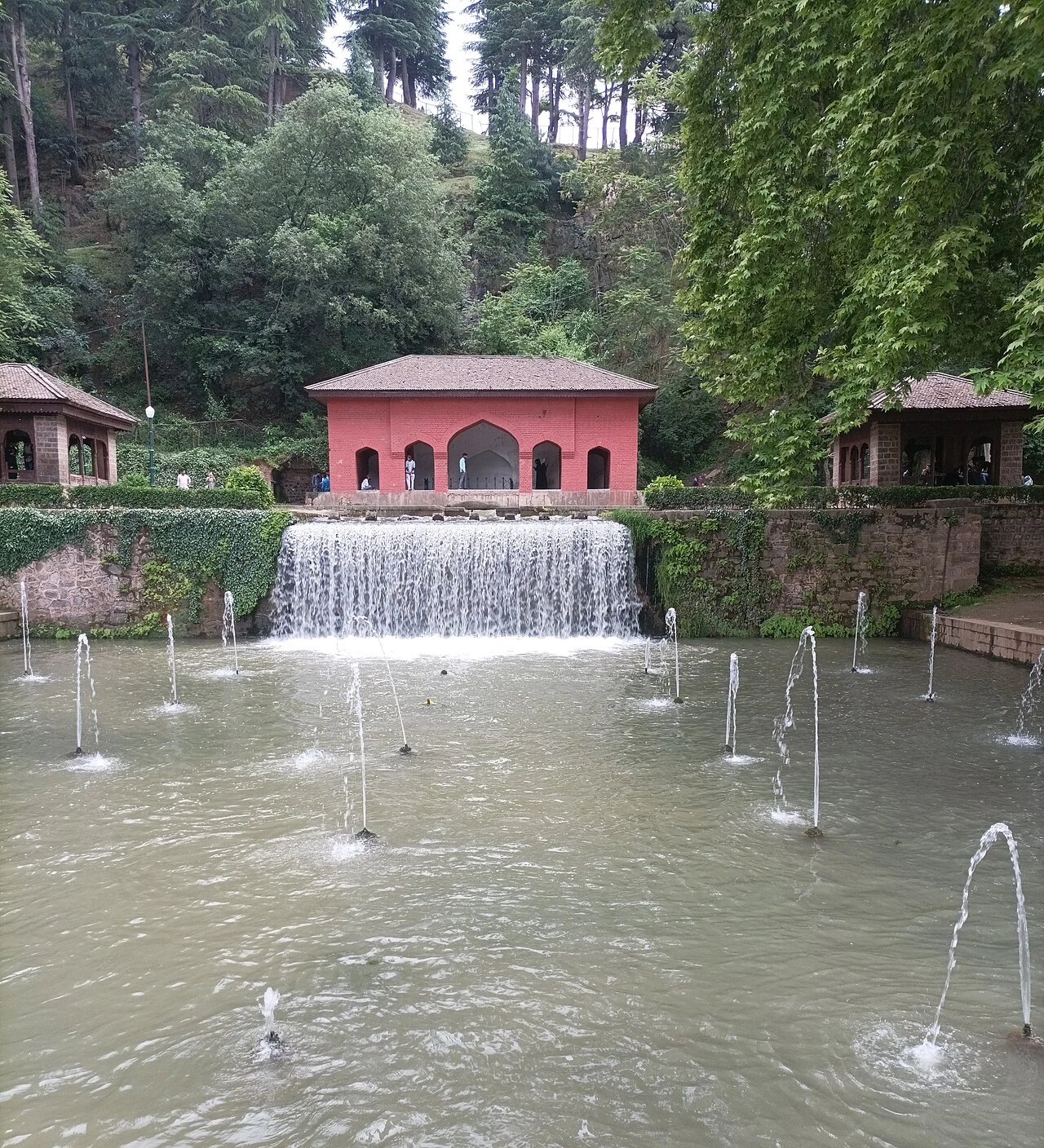
Achabal Garden: Spring-fed Terraces and Mughal Design
Achabal Garden is a Mughal garden in Anantnag district, arranged around a spring at the foot of a hill.
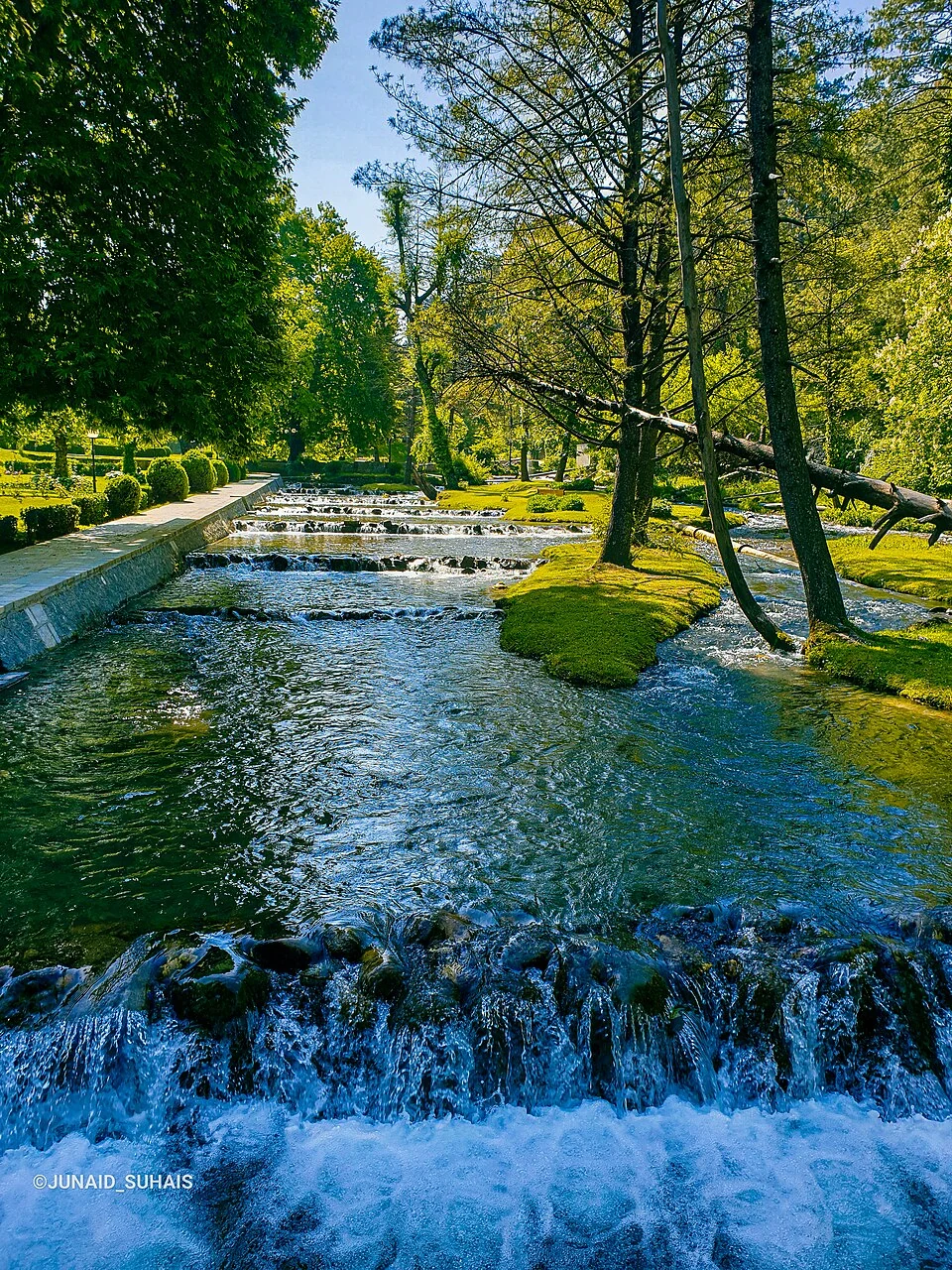
Kokernag: Spring Channels, Garden and a Mountain-town Landscape
Kokernag is a town in Anantnag district's Breng Valley, known particularly for its freshwater springs and garden setting.
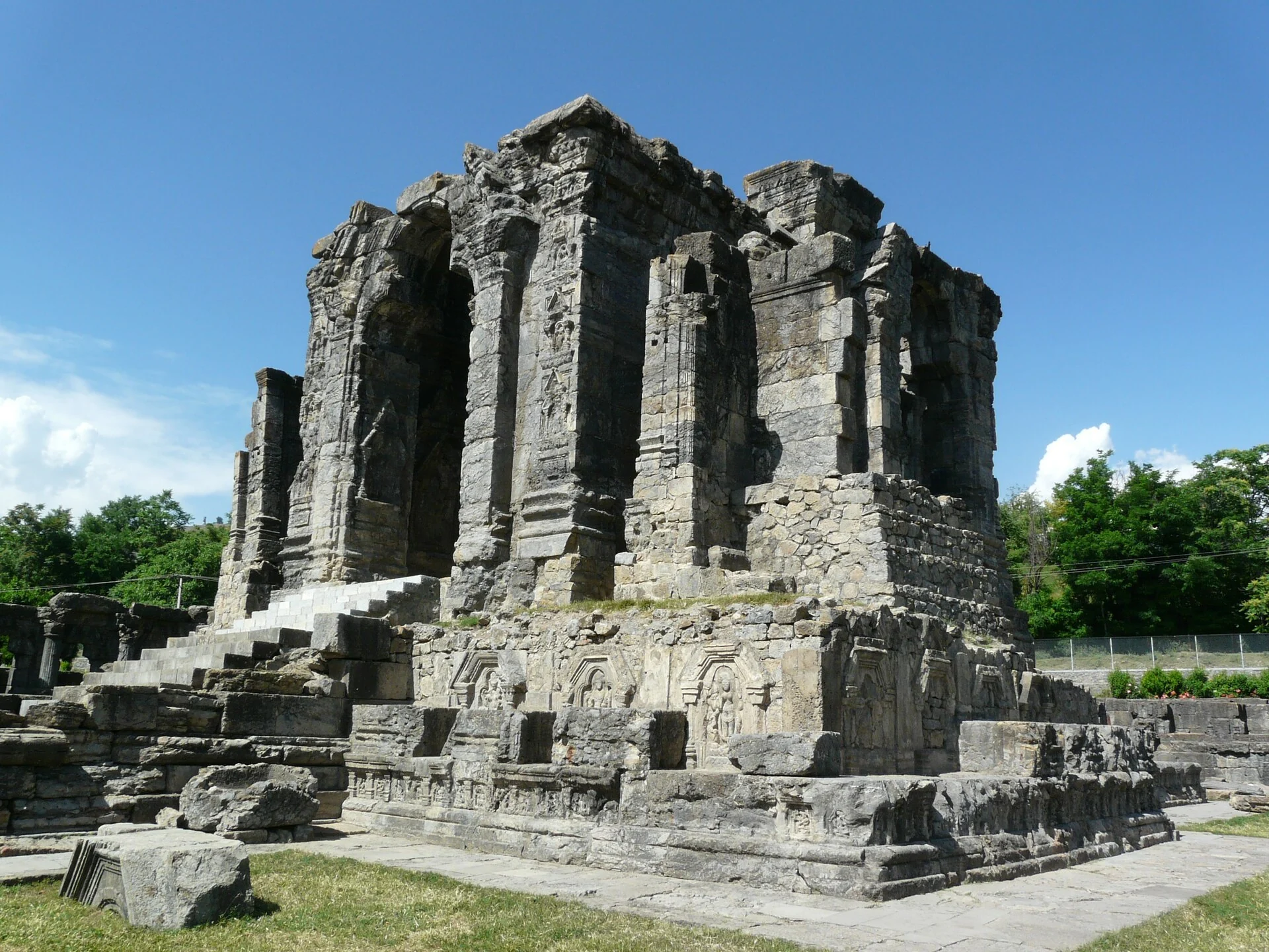
Martand Sun Temple: Ruins, Royal Patronage and Kashmiri Architecture
The early medieval solar temple’s royal associations, central shrine, enclosure and surviving archaeological evidence.