
Lamayuru: Monastery, Village and an Unusual Mountain Landscape
Lamayuru, also known as Yuru monastery, is a Buddhist monastic centre on the western Ladakh road corridor.
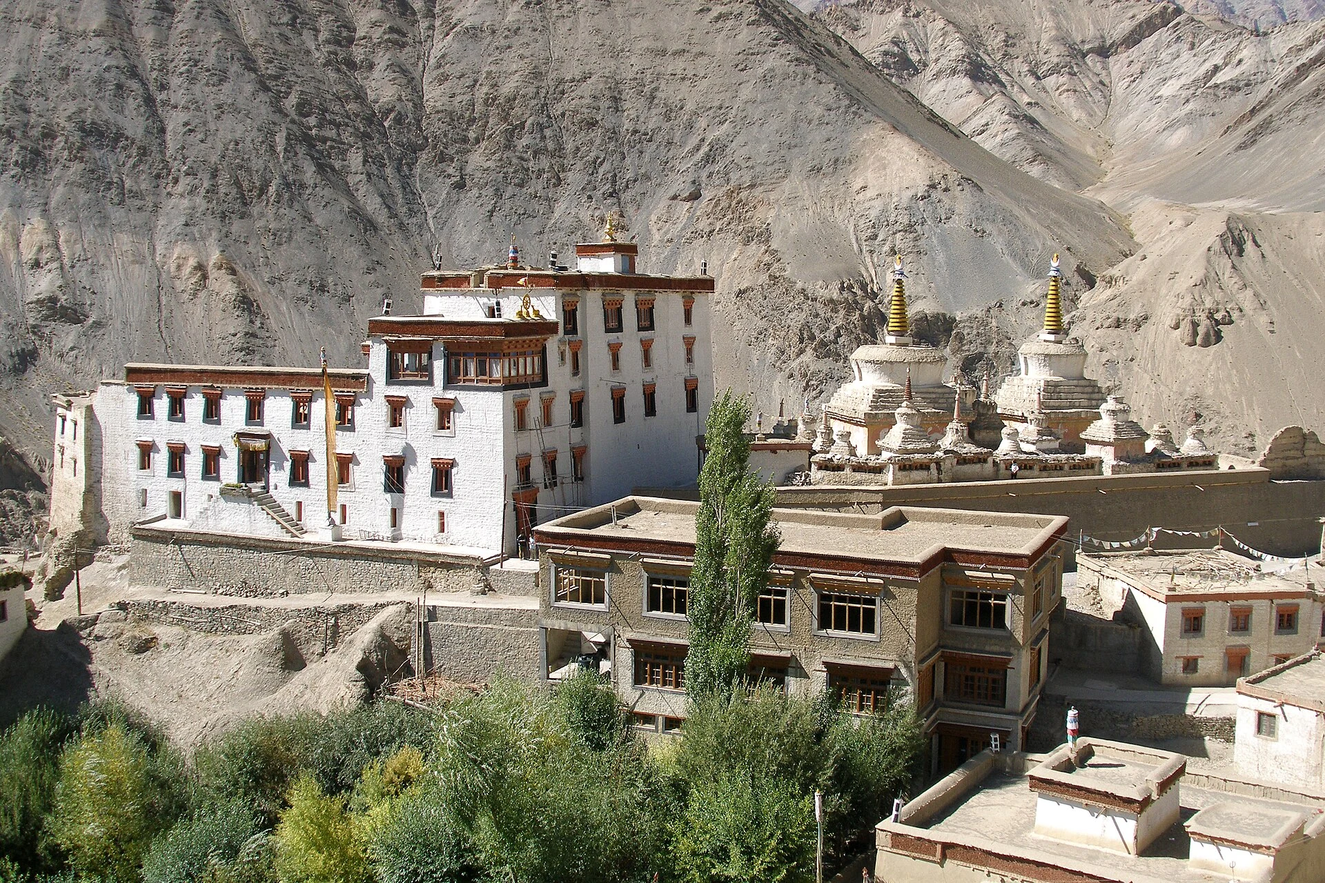
Lamayuru, also known as Yuru monastery, is a Buddhist monastic centre on the western Ladakh road corridor. It is associated with the Drikung Kagyu tradition and occupies a striking position above a village and an eroded mountain landscape. The monastery, the settlement and the surrounding formations are closely related in views of the place, but each is a different subject with its own history.[1]
Religious centre and landscape
The Leh district tourism description highlights Lamayuru's annual Yuru Kabgyat festival and the unusual terrain commonly promoted as “Moonland.” The latter is a descriptive tourism label, not a claim that the terrain is identical to the Moon's surface. A religious festival and a geological landscape also require different kinds of interpretation, even when both attract visitors to the same location.[2]
Stories of Lamayuru's origins are part of its cultural meaning. They should be identified as traditions rather than treated as laboratory evidence for the formation of the surrounding rocks. Likewise, an account of an early founder does not establish the age of every wall or roof visible today. Monastic buildings can preserve, repair and replace earlier fabric over long periods.[1]
One rewarding way to read the complex is to notice how buildings follow the slope. The arrangement creates a relationship between the monastery and the village below. A panorama makes this relationship visible, while an interior record would answer different questions about paintings, ritual objects or individual rooms. Neither view is a complete inventory of the institution.
Place within western Ladakh
Lamayuru belongs to Sham under the 2026 notification, while older guidebooks generally place it in Leh district. Its position on the Srinagar–Leh corridor helps explain why travellers encounter it in journeys between Kargil and the Indus valley. This is a geographical connection, not a promise that the road can be used throughout the year.
Compare Lamayuru's hillside setting with the village temples of Alchi and the crossing-centred settlement of Khaltse. These entries show several ways in which religious institutions, settlements and movement shape lower Ladakh. Festival dates and visitor access should be checked with current organisers rather than copied from an undated itinerary.
Photograph and map record
Photograph: Vyacheslav Argenberg via Wikimedia Commons. Licence: CC BY 4.0. Recorded capture date: 2007-09-14 10:10:29. Resized and converted to WebP; scene content unchanged. This is a dated view, not confirmation of the site’s present appearance.

Map marker: 34.28277778, 76.77444444. Representative location from the secondary geographical record, not a surveyed boundary or verified visitor entrance. View location on OpenStreetMap · View Google Maps · Google directions · OpenStreetMap directions.
Research checked: 14 October 2026. For a visit, confirm current access, transport and opening information with the relevant authorities. This encyclopedia profile provides geographical and historical context.
Sources & references
[1] Lamayuru Monastery — secondary historical/geographical overview
https://en.wikipedia.org/wiki/Lamayuru_Monastery ↗
[2] Leh district archive: Lamayuru and Yuru Kabgyat
https://leh.nic.in/tourist-place/lamayuru/ ↗
Photograph and licence
https://commons.wikimedia.org/wiki/File:Lamayuru_Monastery,_Ladakh,_India.jpg ↗
Related reading
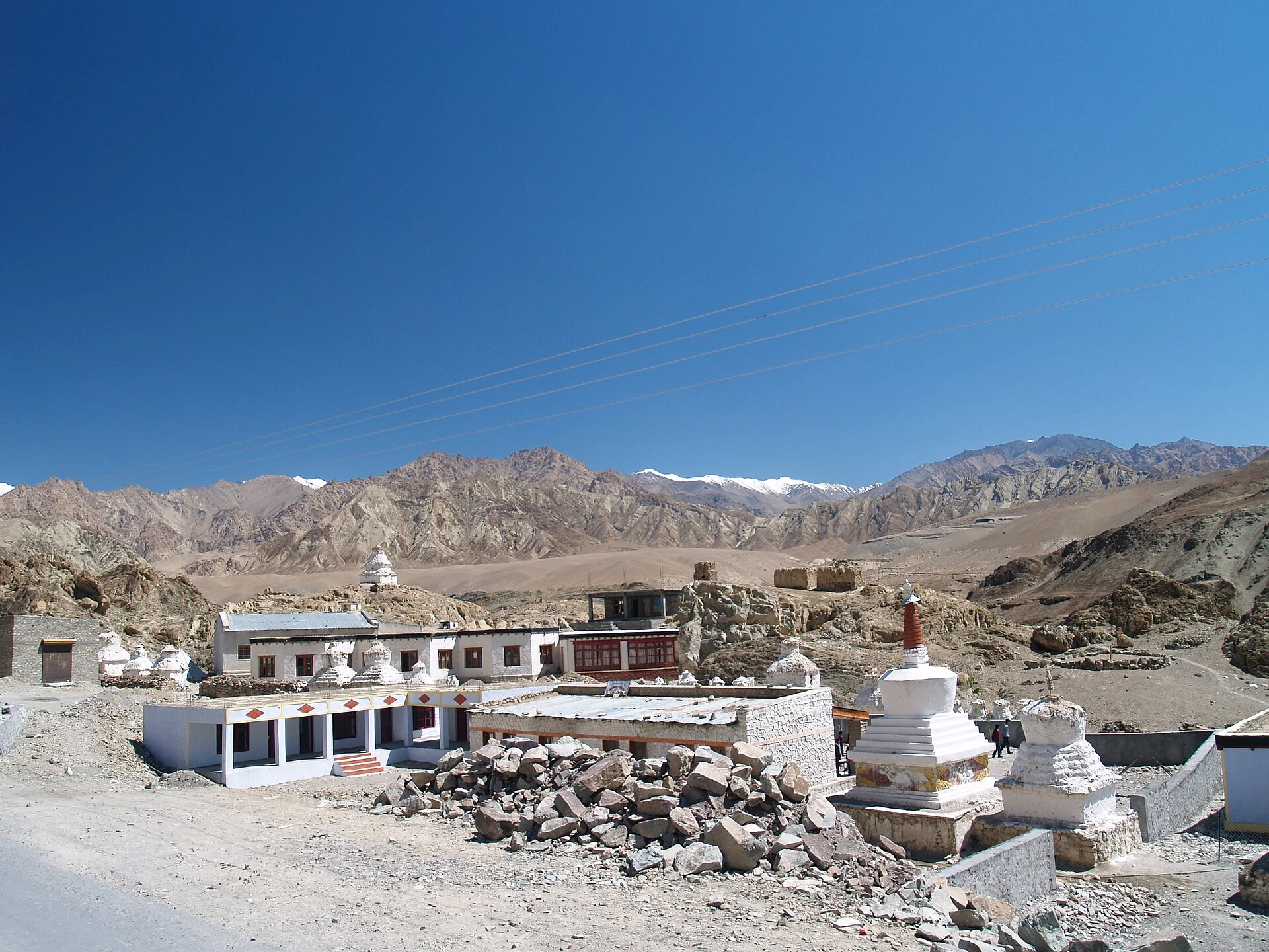
Alchi: Painted Temples and the Art of Western Himalayan Buddhism
Alchi is a Buddhist temple complex in the lower Indus valley, known especially for its painted interiors, sculpture and carved woodwork.
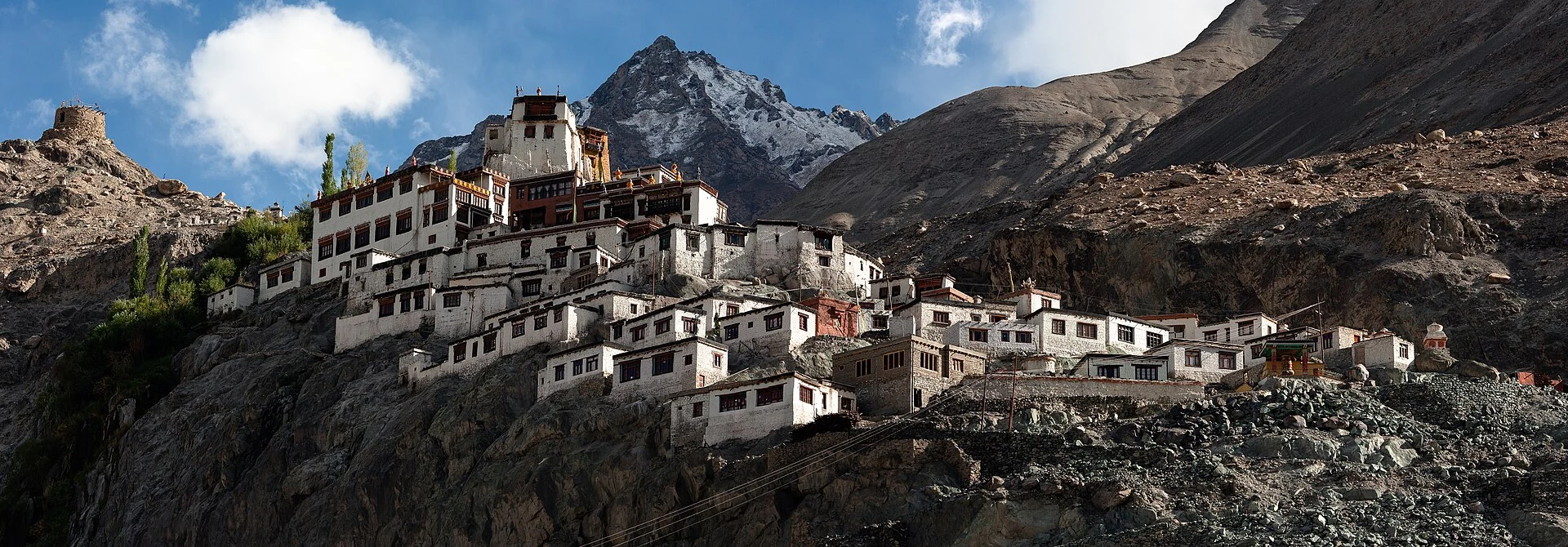
Diskit Monastery: Gelug Heritage and the Nubra Valley
Nubra’s Gelug monastery, hillside architecture, community life and the newer district classification.
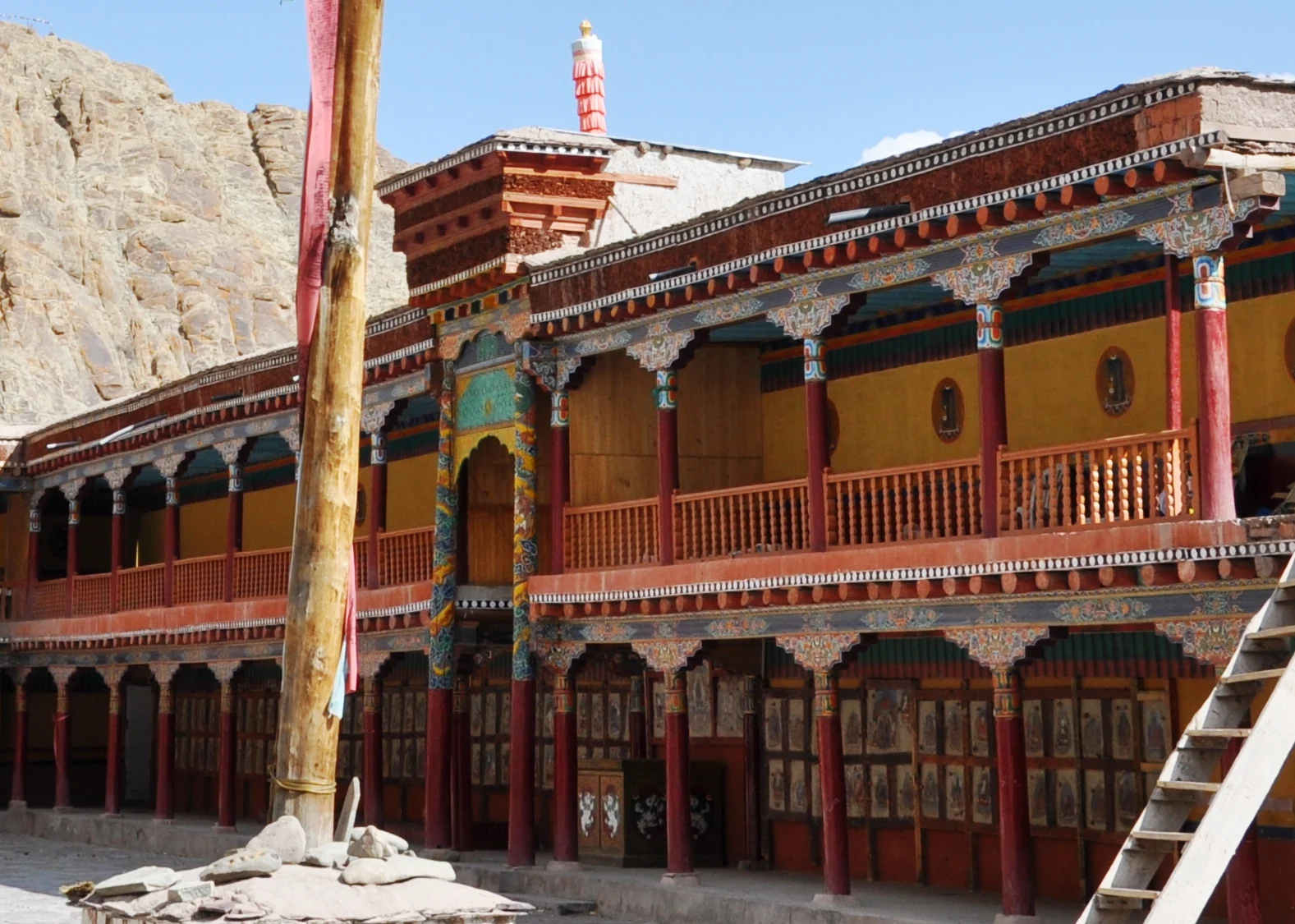
Hemis Monastery: Drukpa Heritage, Courtyard and Festival Traditions
Hemis as a living Buddhist institution, with royal associations, sacred art, courtyard use and the religious meanings of its annual festival.