
Karsha Monastery: Buddhist Community above the Zanskar Valley
Karsha is a major Buddhist monastery above the Zanskar valley near Padum.
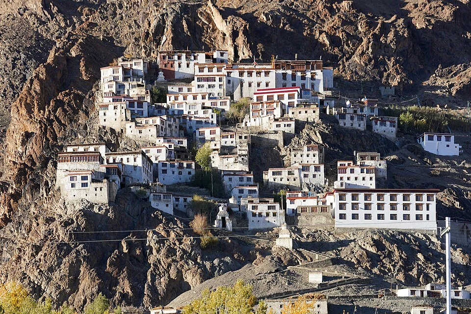
Karsha is a major Buddhist monastery above the Zanskar valley near Padum. Its buildings rise across a hillside and are associated with the Gelug tradition. The monastery, the village and the cultivated valley floor form a connected landscape, but they should be distinguished when discussing individual buildings, population or land use.[1]
A hillside institution
The Kargil district's older Zanskar account identifies Karsha as an important monastic establishment near Padum. This source supplies useful regional context even though the present district framework assigns the area to Zanskar. Older administrative wording should therefore be retained as source history rather than repeated as the current filter.[2]
Accounts of Karsha describe assembly and shrine spaces with paintings and religious objects. A panoramic photograph emphasises the arrangement of white buildings on the slope, while individual rooms and images need closer records. The outline of the complex cannot establish the age or contents of every structure.[1]
Monastery and valley
The elevated position helps explain the visual relationship between the institution and the agricultural ground below. Paths and roads connect the settlement with the monastic buildings, but the ascent remains a separate part of the visitor approach. A road distance from Padum is not a guarantee of an easy walk through every level.
Institutional histories can combine origin traditions, documented patronage and later repair. These are different forms of evidence and may concern different phases. A responsible building account identifies the structure and source behind a date rather than presenting the whole monastery as one unchanged early foundation.
Read Padum for the nearby settlement and Phugtal for a different Zanskar monastic setting. Thiksey supplies a useful architectural comparison with another terraced complex. Their similarities do not imply identical affiliation histories, access or room plans. The map marker locates Karsha, not a verified step-free entrance or a current festival notice.
Photograph and map record
Photograph: Timothy A. Gonsalves via Wikimedia Commons. Licence: CC BY-SA 4.0. Recorded capture date: 2022-10-05 17:09:55. Resized and converted to WebP; scene content unchanged. This is a dated view, not confirmation of the site’s present appearance.

Map marker: 33.53438333, 76.90704167. Representative source-record location, not a surveyed boundary or verified visitor entrance. Confirm actual access and accessibility locally. View location on OpenStreetMap · View Google Maps · Google directions · OpenStreetMap directions.
Research checked: 14 October 2026. For a visit, confirm current access, transport and opening information with the relevant authorities. This encyclopedia profile provides geographical and historical context.
Sources & references
[1] Karsha Monastery — secondary historical/geographical overview
https://en.wikipedia.org/wiki/Karsha_Monastery ↗
[2] Kargil district archive: Zanskar monasteries and landscape
https://kargil.nic.in/tourist-place/zanskar/ ↗
Photograph and licence
https://commons.wikimedia.org/wiki/File:Karsha_Gompa_Full_View_Zanskar_Ladakh_Oct22_A7C_04024.jpg ↗
Related reading
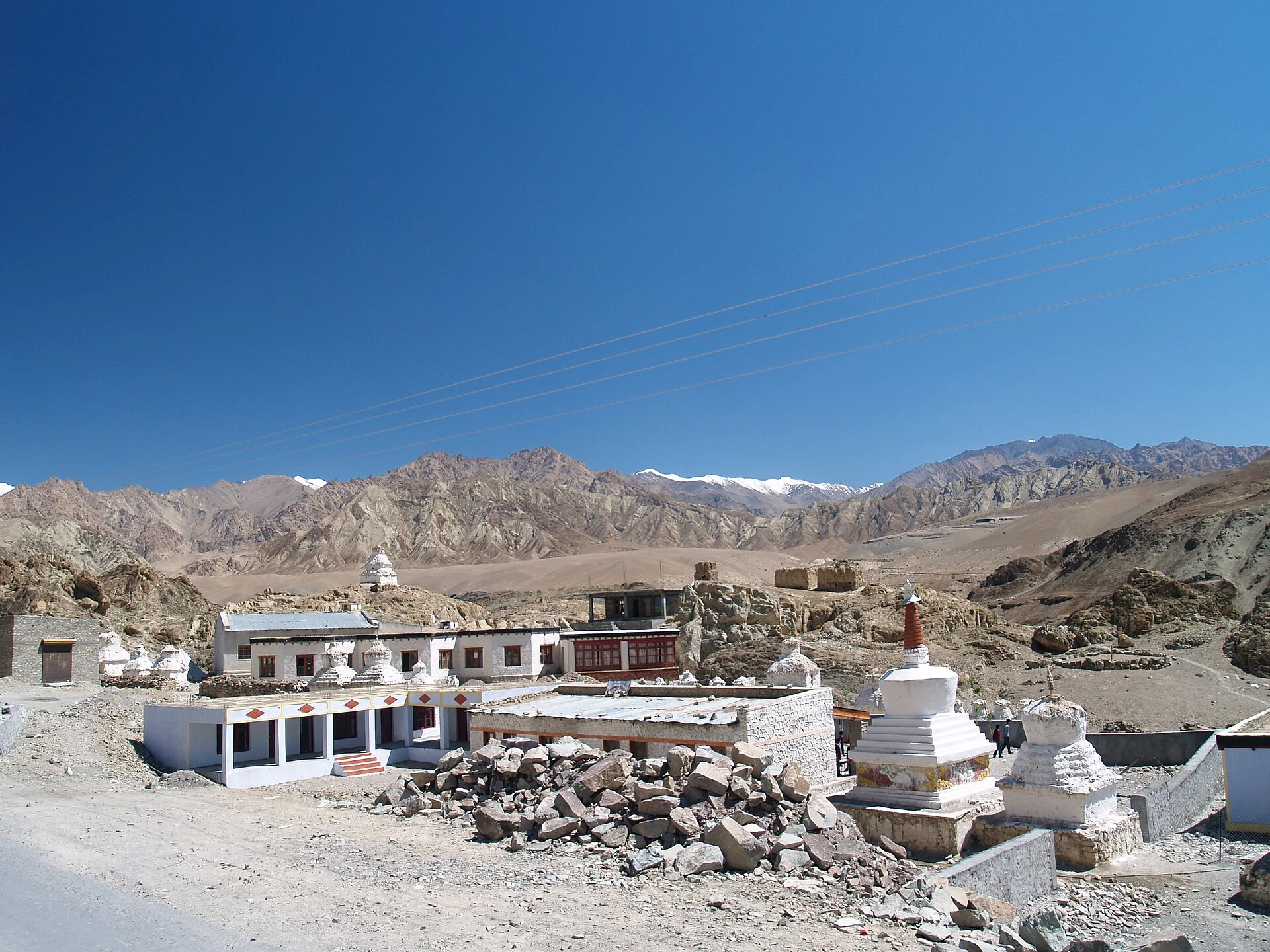
Alchi: Painted Temples and the Art of Western Himalayan Buddhism
Alchi is a Buddhist temple complex in the lower Indus valley, known especially for its painted interiors, sculpture and carved woodwork.
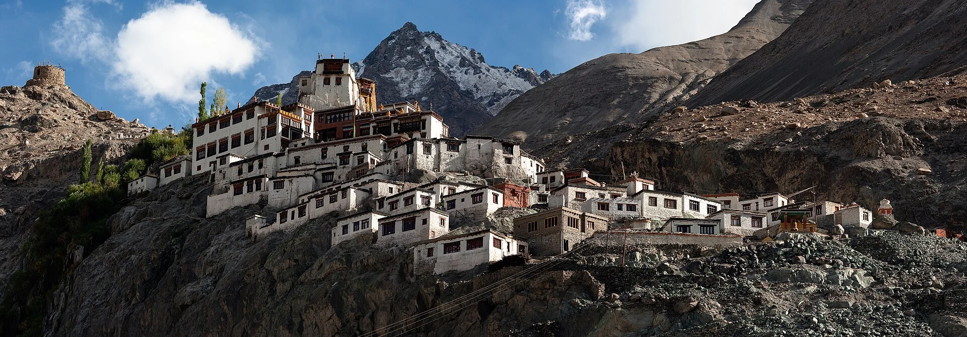
Diskit Monastery: Gelug Heritage and the Nubra Valley
Nubra’s Gelug monastery, hillside architecture, community life and the newer district classification.
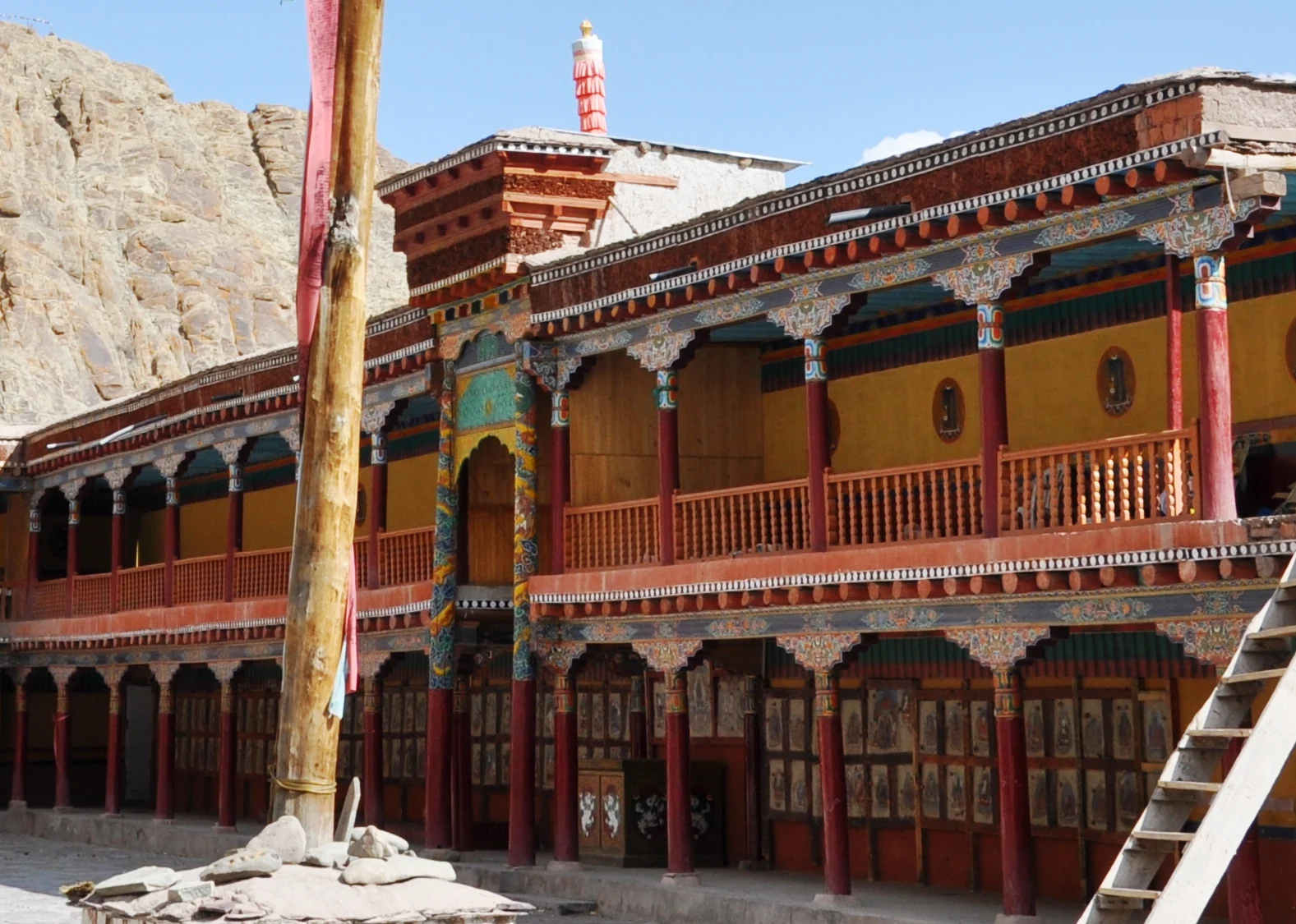
Hemis Monastery: Drukpa Heritage, Courtyard and Festival Traditions
Hemis as a living Buddhist institution, with royal associations, sacred art, courtyard use and the religious meanings of its annual festival.