
Padum: Settlement and Administrative Centre of Zanskar
Padum, also written Padam, is a principal settlement in Zanskar.
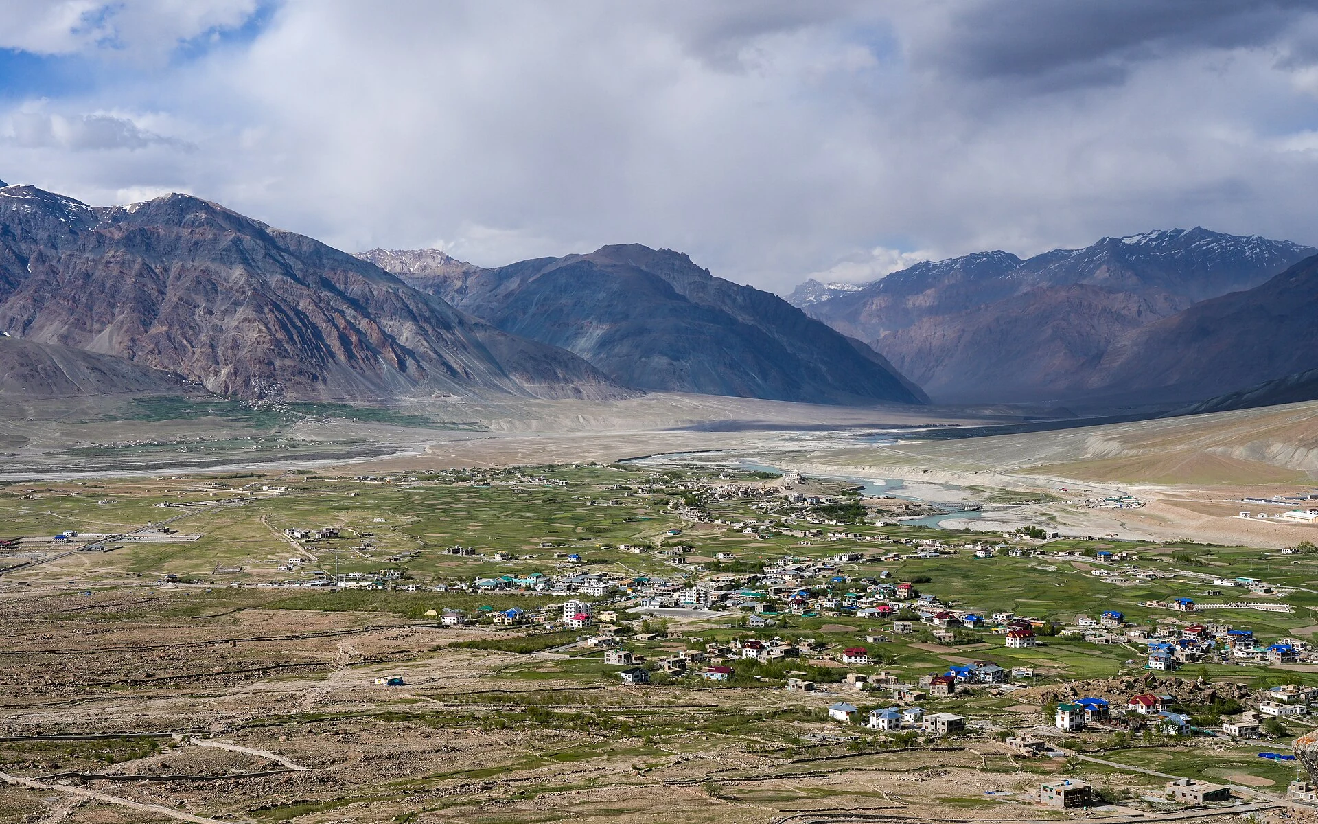
Padum, also written Padam, is a principal settlement in Zanskar. The town stands within a broad mountain-valley setting and has long served as a centre for the surrounding region. Accounts associate its name with Padmasambhava and identify it, alongside Zangla, with the history of Zanskar's former political centres. Such associations explain historical identity, but do not by themselves date every surviving structure.[1]
Padum is the headquarters of Zanskar district under Ladakh's April 2026 district notification.[2] Older publications frequently describe it as part of Kargil district; that wording reflects the previous administrative arrangement.
A settlement among river valleys
The valley landscape is fundamental to Padum's position. Agricultural land, villages and roads occupy a relatively limited floor below steep mountains. Nearby religious centres include Karsha and Bardan, while the wider Zanskar region contains other monasteries reached through different valleys. Padum's population includes Buddhist and Muslim communities; a description that equates the whole town with one religious institution would miss this social dimension.[1]
The town can therefore be read at several scales. At the settlement scale, houses, religious buildings and everyday services matter. At the valley scale, irrigation and the distribution of cultivable land become more visible. At the regional scale, routes across high terrain explain how Zanskar connects with surrounding areas. None of these scales can be reduced to a single panoramic photograph.
Connections without seasonal assumptions
Kargil's official tourism material treats Padum as an important Zanskar destination and notes the dependence of some road-based services on access across high passes. The useful lesson is that a road shown on a map and a service available on a particular day are separate facts. An encyclopedia can explain the network without promising a bus timetable or a permanently open crossing.[3]
For a broader regional comparison, see Kargil district and Drass. The Leh airport entry describes a separate aviation gateway; it does not imply a quick or unrestricted onward journey to Padum. Historic spellings, current district assignment and practical access should each be recorded explicitly.
Photograph and map record
Photograph: Timothy A. Gonsalves via Wikimedia Commons. Licence: CC BY-SA 4.0. Recorded capture date: 2024-06-07 16:32:15. Resized and converted to WebP; scene content unchanged. This is a dated view, not confirmation of the site’s present appearance.

Map marker: 33.46388889, 76.87861111. Representative location from the secondary geographical record, not a surveyed boundary or verified visitor entrance. View location on OpenStreetMap · View Google Maps · Google directions · OpenStreetMap directions.
Research checked: 14 October 2026. For a visit, confirm current access, transport and opening information with the relevant authorities. This encyclopedia profile provides geographical and historical context.
Sources & references
[1] Padum — secondary historical/geographical overview
https://en.wikipedia.org/wiki/Padum ↗
[2] Ladakh Gazette: district creation and revenue-village allocation, 27 April 2026
[3] Kargil tourism: Swadesh Darshan and Zanskar access context
https://kargil.nic.in/swadesh-darshan-kargil/ ↗
Photograph and licence
https://commons.wikimedia.org/wiki/File:NE_Padum_Valley_Panorama_Zanskar_Jun24_A7CR_01091.jpg ↗
Related reading
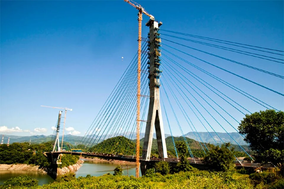
Basohli: Ravi-side Town and a Centre of Pahari Painting
Basohli is a town in Kathua district, in the Jammu region, overlooking the Ravi river landscape.
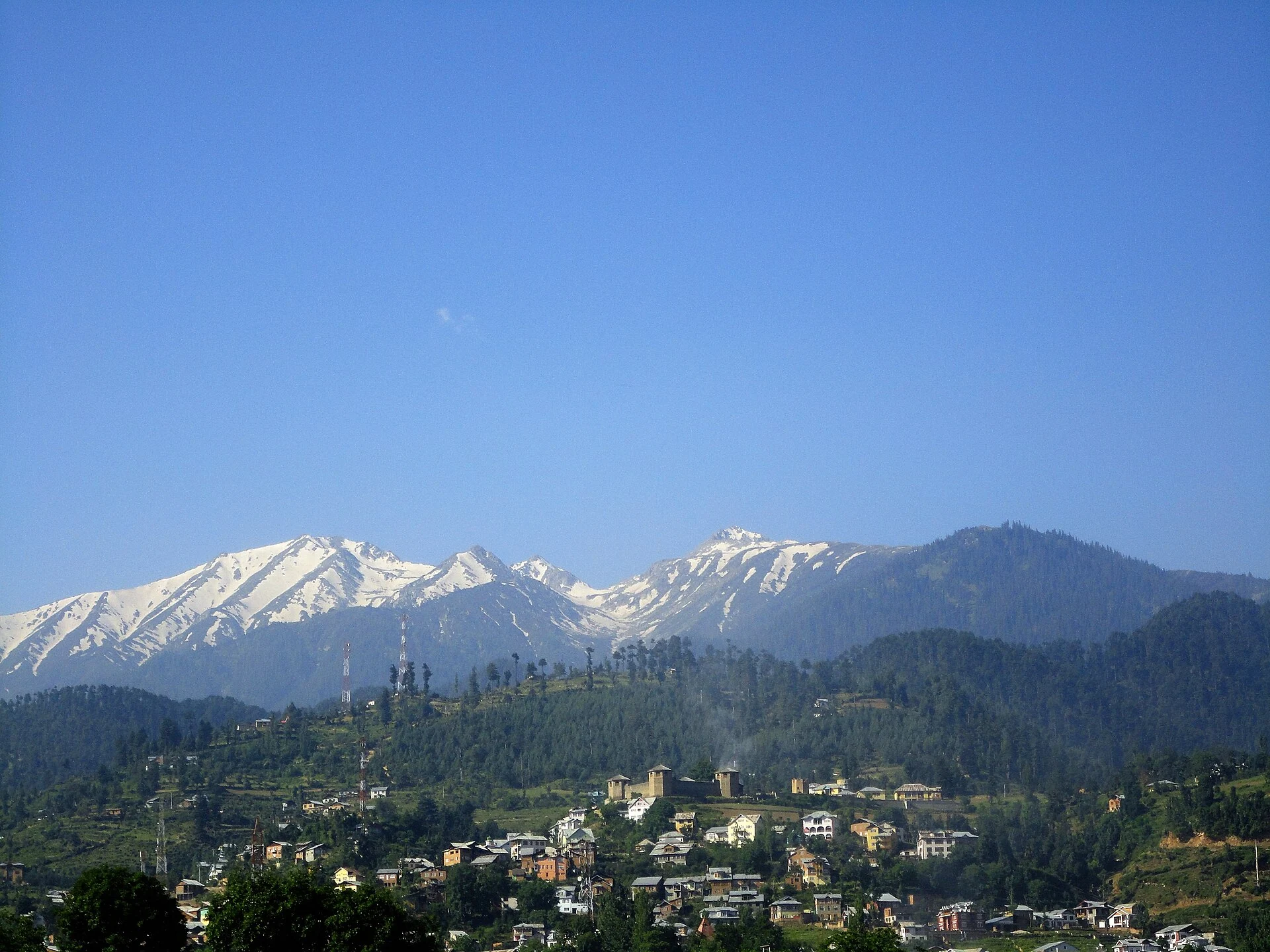
Bhaderwah: Town, Valley and the Bhadarwahi Cultural Landscape
The mountain town and valley, local language identity and relationship with surrounding destinations.
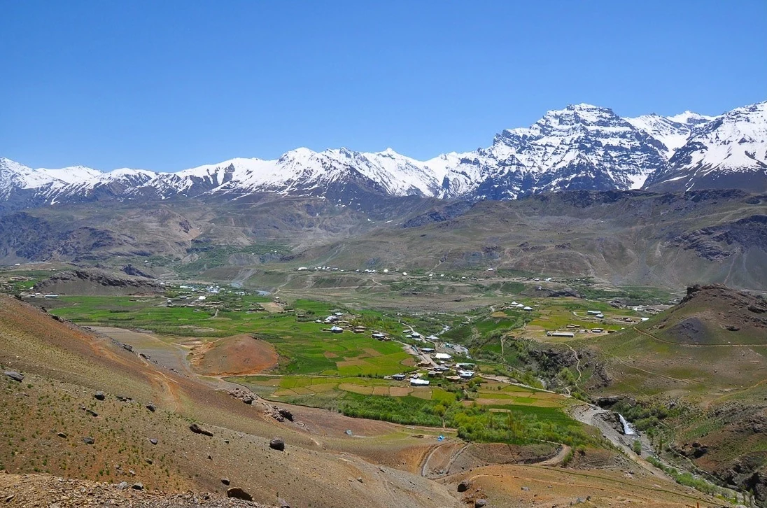
Drass: Mountain Settlement on the Srinagar–Ladakh Corridor
Drass, also written Dras, is a mountain settlement on the road corridor between the Kashmir Valley and Kargil.