
Sheshnag Lake: Alpine Water, the Lidder Catchment and Pilgrimage
Sheshnag is a high mountain lake in Anantnag district, associated with the Pahalgam-side route of the Amarnath pilgrimage.
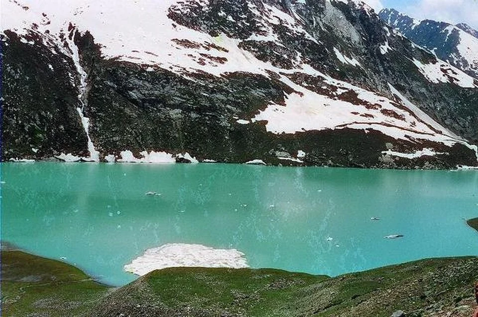
Sheshnag is a high mountain lake in Anantnag district, associated with the Pahalgam-side route of the Amarnath pilgrimage. It occupies an alpine setting above the main valley settlements, where mountain slopes, snow and open water define the landscape. Its religious associations and its role in the local drainage system are different but complementary ways of understanding the place.[1]
Lake, stream and valley
The Anantnag district account links Sheshnag with the headwaters of the Lidder system. This connects a high mountain basin with the larger inhabited and cultivated valley below. It does not mean that every branch of the Lidder begins at the same lake: a river system can contain several tributaries and source areas.[2]
Published descriptions place the lake at approximately 3,590 metres and explain its name through the Hindu serpent figure Sheshanaga. The story belongs to the lake's religious meaning; it is not a geological explanation for the formation of the basin. The waterbody and the pilgrimage staging area around it should also be distinguished, because a place name can cover both features in route descriptions.[1]
Pilgrimage and an alpine environment
District notices for the Amarnath pilgrimage identify Sheshnag as a location for seasonal tent arrangements. A notice for a particular year documents that year's administrative process, not a permanent accommodation entitlement or an always-open visitor route. Pilgrimage access requires the current arrangements set by the responsible authorities.[3]
The alpine setting gives the lake a different character from Manasbal or Dal. A lake high in the mountains should not be treated as a roadside picnic point simply because online maps can place a marker on it. A walking route, weather conditions and permission requirements are distinct from the coordinate of the waterbody.
For the downstream settlement context, read Pahalgam. The comparison helps connect water, routes and communities without collapsing the whole Lidder catchment into one tourist destination. Photographs may show summer conditions and exposed shores; they cannot establish what the approach will be like on another date. This article explains the place and its connections rather than providing an unsurveyed trekking itinerary.
Photograph and map record
Photograph: Akhilesh Dasgupta via Wikimedia Commons. Licence: CC BY-SA 2.0. Recorded capture date: 2012-07-03. Resized and converted to WebP; scene content unchanged. This is a dated view, not confirmation of the site’s present appearance.

Map marker: 34.093697, 75.496686. Representative location from the secondary geographical record, not a surveyed boundary or verified visitor entrance. View location on OpenStreetMap · View Google Maps · Google directions · OpenStreetMap directions.
Research checked: 14 October 2026. For a visit, confirm current access, transport and opening information with the relevant authorities. This encyclopedia profile provides geographical and historical context.
Sources & references
[1] Sheshnag Lake — secondary historical/geographical overview
https://en.wikipedia.org/wiki/Sheshnag_Lake ↗
[2] Anantnag district: rivers and Lidder source context
https://anantnag.nic.in/history/ ↗
[3] Anantnag district: dated 2023 Sheshnag pilgrimage tent notice
Photograph and licence
Related reading
Achabal Garden: Spring-fed Terraces and Mughal Design
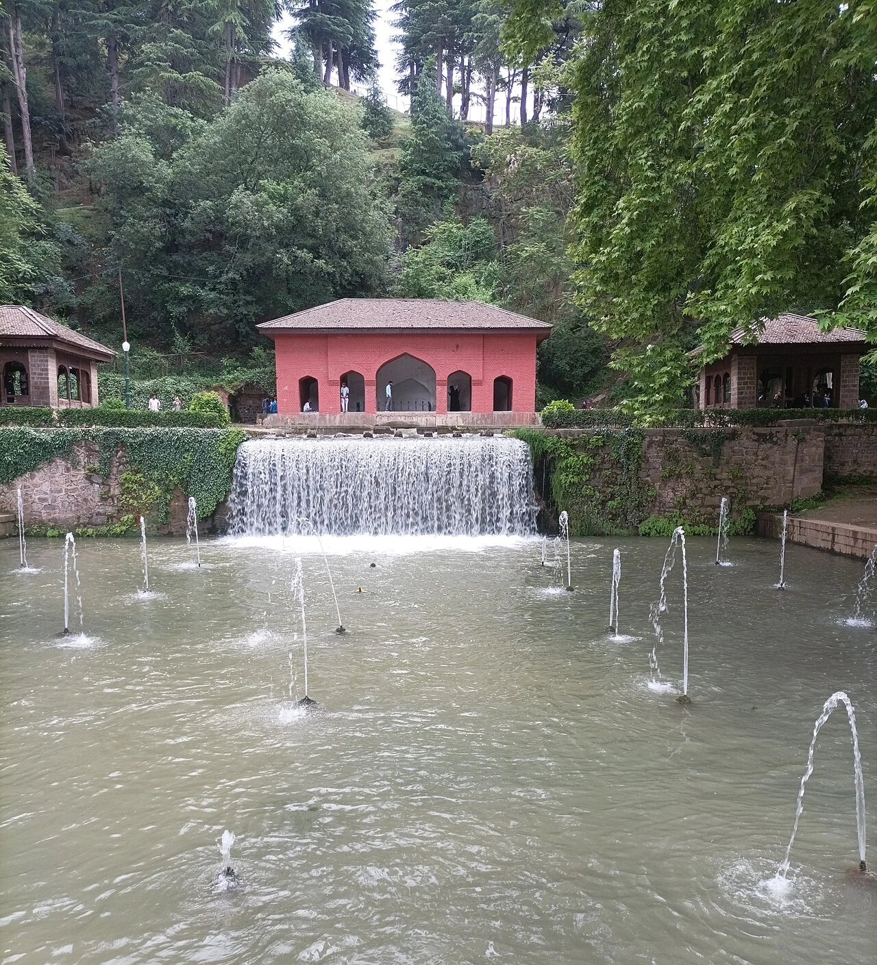
Achabal Garden is a Mughal garden in Anantnag district, arranged around a spring at the foot of a hill.
Dal Lake: Waterways, Floating Gardens and Life on the Lake
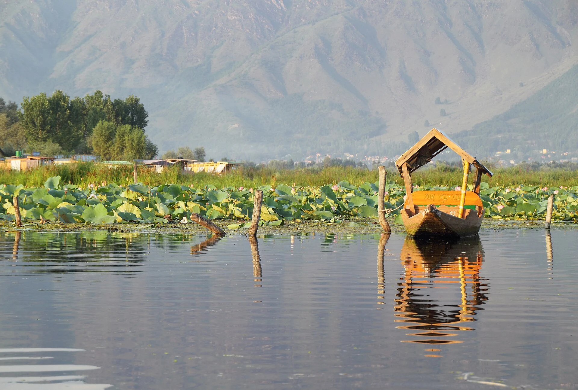
An introduction to Dal Lake’s connected basins, working waterscape, floating gardens, boats and cultural setting.
Kashmir Willow: Trees, Timber and Cricket-bat Making
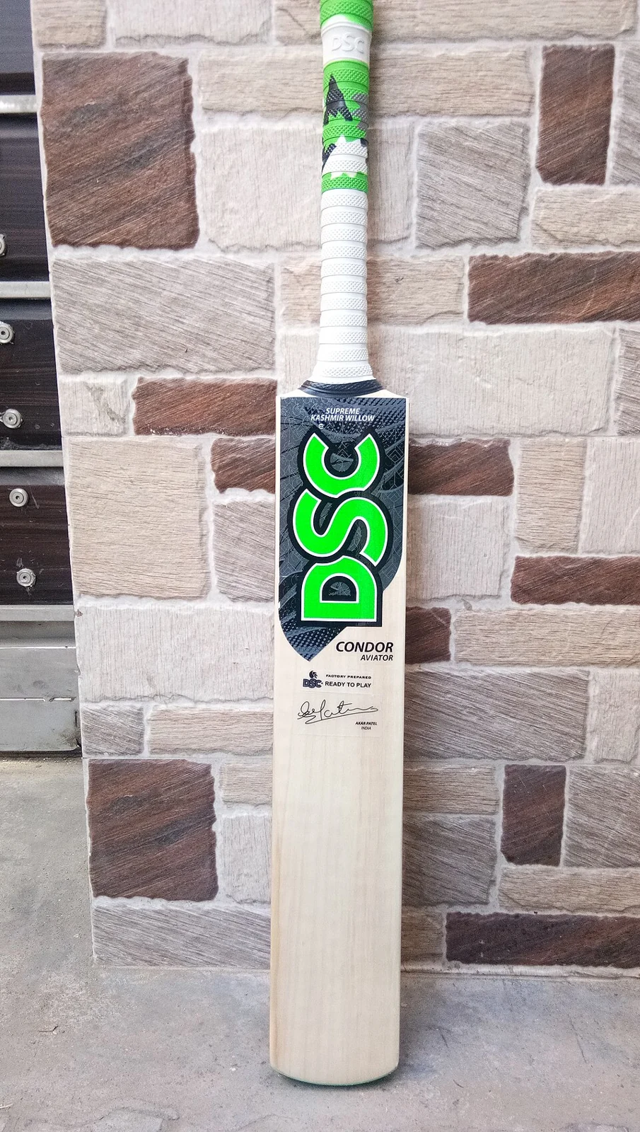
Kashmir willow is associated with the production of cricket-bat timber and the work of bat makers in the Kashmir Valley.