
Thajiwas Glacier: Ice, Meadow and the Sonamarg Mountain Landscape
Thajiwas is the glacier and mountain landscape associated with the Sonamarg area of Ganderbal district.
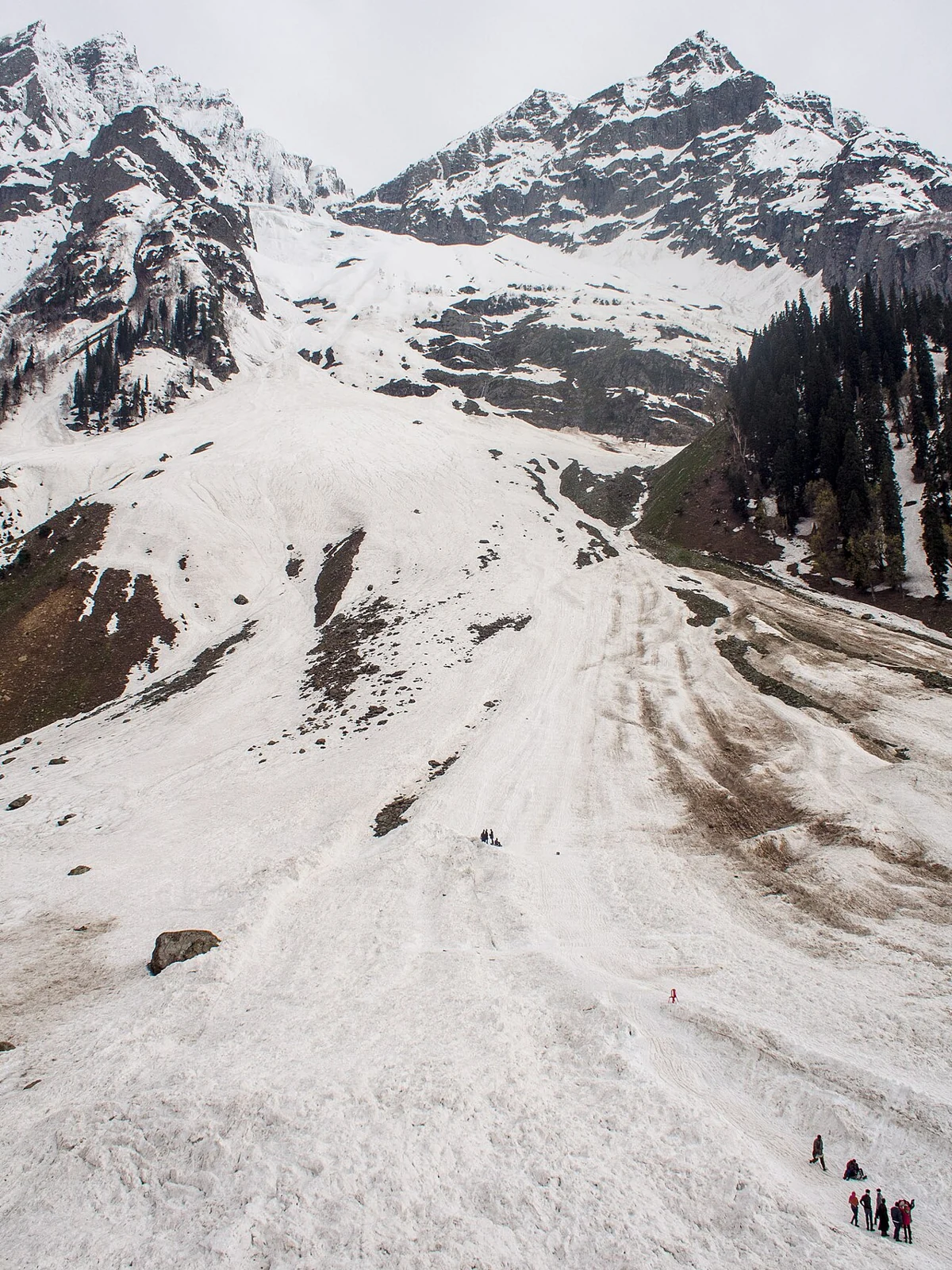
Thajiwas is the glacier and mountain landscape associated with the Sonamarg area of Ganderbal district. Tourism descriptions use the name for the glacier as well as for approaches through neighbouring meadows and snow-covered slopes. These are not identical features: a patch of seasonal snow seen from a path should not automatically be identified as glacier ice.[1]
Ice within a mountain setting
The district profile presents Thajiwas among Ganderbal's mountain attractions and places it in relation to Sonamarg. Its descriptions emphasise the contrast between snow, meadows and the surrounding slopes. That scenic account helps locate the place, but it is not a scientific inventory of glacier area, mass or change. This article accordingly avoids an unsupported statement of the glacier's current size.[2]
A glacier consists of accumulated ice that persists and moves under its own weight. Seasonal snow may cover a glacier, a meadow or bare rock, creating very different surfaces that look similarly white in a photograph. Documenting change requires repeat observations and a consistent identification of the ice body; comparing two attractive pictures without their dates and viewpoints is not enough.[3]
Approach landscape and visitor expectations
The name Thajiwas is also used for a visitor destination reached from Sonamarg. A destination label on a map does not establish where the glacier begins or which path is currently authorised. Visitors should distinguish a managed viewing area from an independent mountain route. Snow and weather conditions can change the meaning of an otherwise familiar-looking approach.
The supplied marker is a representative location for the Thajiwas landscape, not a surveyed glacier terminus or verified trailhead. Directions links are included for orientation; they are not a trekking plan and may return unsuitable routing. A local route check is necessary before interpreting an online direction as a walk that can safely be completed.
For regional comparisons, see the alpine-water setting of Sheshnag Lake and the valley waters of Manasbal. These entries demonstrate how different landforms within Kashmir relate to water, elevation and settlement. The dated photograph accompanying this entry identifies the source-described Thajiwas scene; it does not establish present snow cover, current glacier extent or access conditions.
Photograph and map record
Photograph: Mike Prince from Bangalore, India via Wikimedia Commons. Licence: CC BY 2.0. Recorded capture date: 2014-05-23 17:48. Resized and converted to WebP; scene content unchanged. This is a dated view, not confirmation of the site’s present appearance.
.jpg)
Map marker: 34.300278, 75.267778. Representative viewpoint near Thajiwas Park from a dated Commons camera-location record, not a surveyed glacier terminus, trailhead or authorised trekking route. View location on OpenStreetMap · View Google Maps · Google directions · OpenStreetMap directions.
Research checked: 14 October 2026. For a visit, confirm current access, transport and opening information with the relevant authorities. This encyclopedia profile provides geographical and historical context.
Sources & references
[1] Ganderbal district: Thajiwas Glacier
https://ganderbal.nic.in/tourist-place/thajiwas-glacier/ ↗
[2] Ganderbal district: Thajiwas and regional attractions
https://ganderbal.nic.in/places-of-interest/ ↗
[3] NSIDC: glacier formation and movement
https://nsidc.org/learn/parts-cryosphere/glaciers/science-glaciers ↗
[4] Commons camera-location record: Thajiwas Park viewpoint
https://commons.wikimedia.org/wiki/File:Thajiwas_Park,_Sonamarg,_Jammu_and_Kashmir,_India.jpg ↗
Photograph and licence
https://commons.wikimedia.org/wiki/File:Thajiwas_Glacier,_Sonamarg_(14550895976).jpg ↗
Related reading
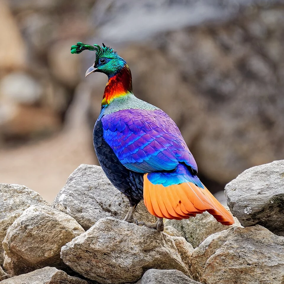
Himalayan Monal: A Pheasant of Kashmir’s Mountain Forests
The Himalayan monal is a mountain pheasant occurring in the wider Himalayan region, including suitable habitats in Kashmir.
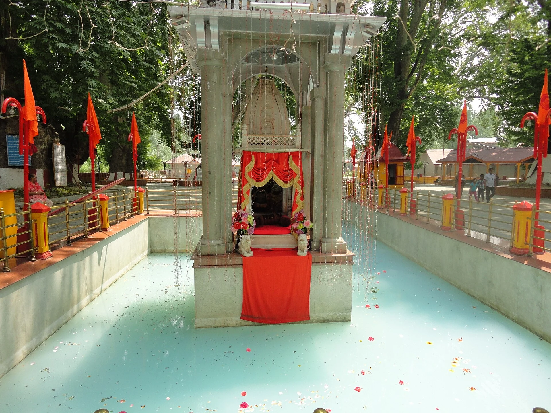
Kheer Bhawani: Sacred Spring and Devotion at Tulmulla
The Tulmulla shrine’s sacred spring, goddess traditions and annual community gathering.
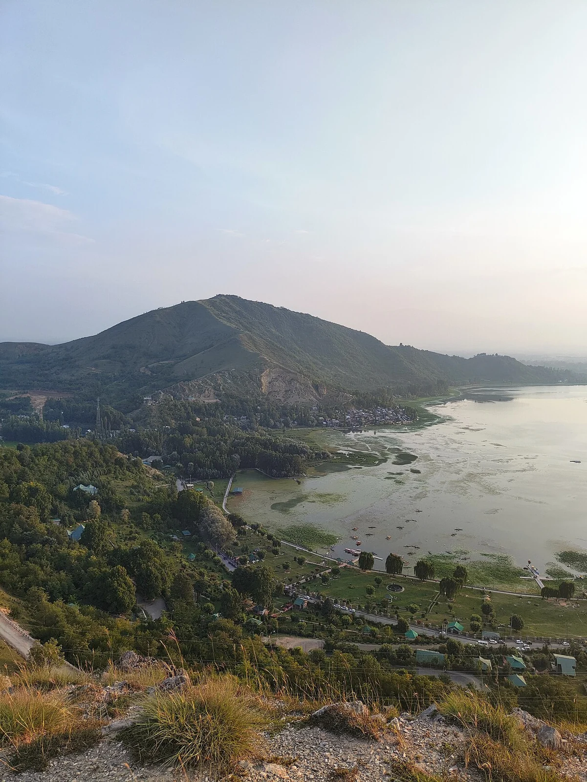
Manasbal Lake: Deep Water, Lakeside Settlement and Ecology
Manasbal is a freshwater lake in the Safapora area of Ganderbal district.