
Stakna Monastery: The Tiger-nose Hill above the Indus
Stakna is a Buddhist monastery on a distinctive hill beside the Indus, southeast of Leh.
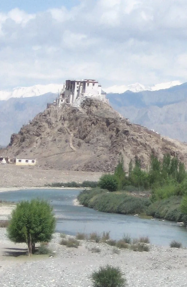
Stakna is a Buddhist monastery on a distinctive hill beside the Indus, southeast of Leh. Its name is commonly explained as “tiger's nose,” referring to the shape of the projecting hill. The site is associated with the Drukpa Kagyu tradition and a Bhutanese religious connection. A monastery placed on this landform presents a different relationship with the river valley from a temple complex on flatter village ground.[1]
Hill, river and religious identity
The standard historical account places Stakna's foundation in the late sixteenth century and associates it with the teacher Chosje Modzin. These are accounts of institutional origins; they should not be taken as proof that all current buildings survive unchanged from that time. Repair, rebuilding and additions are separate questions that require closer building-level evidence.[1]
Ladakh's official heritage mapping includes Stakna as a village with its own heritage records. The inventory offers a useful way to explore the wider settlement rather than assuming that the most visible monastery is its only historically significant feature. A village-level heritage list and the monastery's religious history answer different questions.[2]
From a valley viewpoint, the raised site makes the monastery's outline particularly clear. Yet visibility should not be confused with ease of access: a building prominent from the highway may still require a separate approach and a climb. The river visible below is part of the geographical setting, not an indication that the monastery stands at water level.
Comparisons within the Indus corridor
Stakna is useful for comparing the diversity of Ladakh's monastic landscapes. Thiksey occupies a larger stepped hillside complex; Shey combines royal and religious histories; Hemis provides another Drukpa-related institutional context. Shared religious terminology does not mean identical management, foundation history or architectural form.
This article keeps Stakna within Leh district according to the 2026 allocation. It avoids fixed monk counts, ticket prices and prayer schedules, all of which require dated confirmation. The accompanying image is a recorded view of the monastery and river setting, not a full survey of the complex. Further documentation should identify the room, object or structure under discussion rather than attribute every feature to the same founding moment.
Photograph and map record
Photograph: Redtigerxyz via Wikimedia Commons. Licence: CC BY-SA 3.0. Recorded capture date: Date not recorded. Resized and converted to WebP; scene content unchanged. This is a dated view, not confirmation of the site’s present appearance.

Map marker: 34.005, 77.68472222. Representative location from the secondary geographical record, not a surveyed boundary or verified visitor entrance. View location on OpenStreetMap · View Google Maps · Google directions · OpenStreetMap directions.
Research checked: 14 October 2026. For a visit, confirm current access, transport and opening information with the relevant authorities. This encyclopedia profile provides geographical and historical context.
Sources & references
[1] Stakna Monastery — secondary historical/geographical overview
https://en.wikipedia.org/wiki/Stakna_Monastery ↗
[2] Ladakh heritage inventory: Stakna sites
https://heritage.ladakh.gov.in/stakna/sites ↗
Photograph and licence
https://commons.wikimedia.org/wiki/File:Stakna_Gompa_and_Indus_River.jpg ↗
Related reading
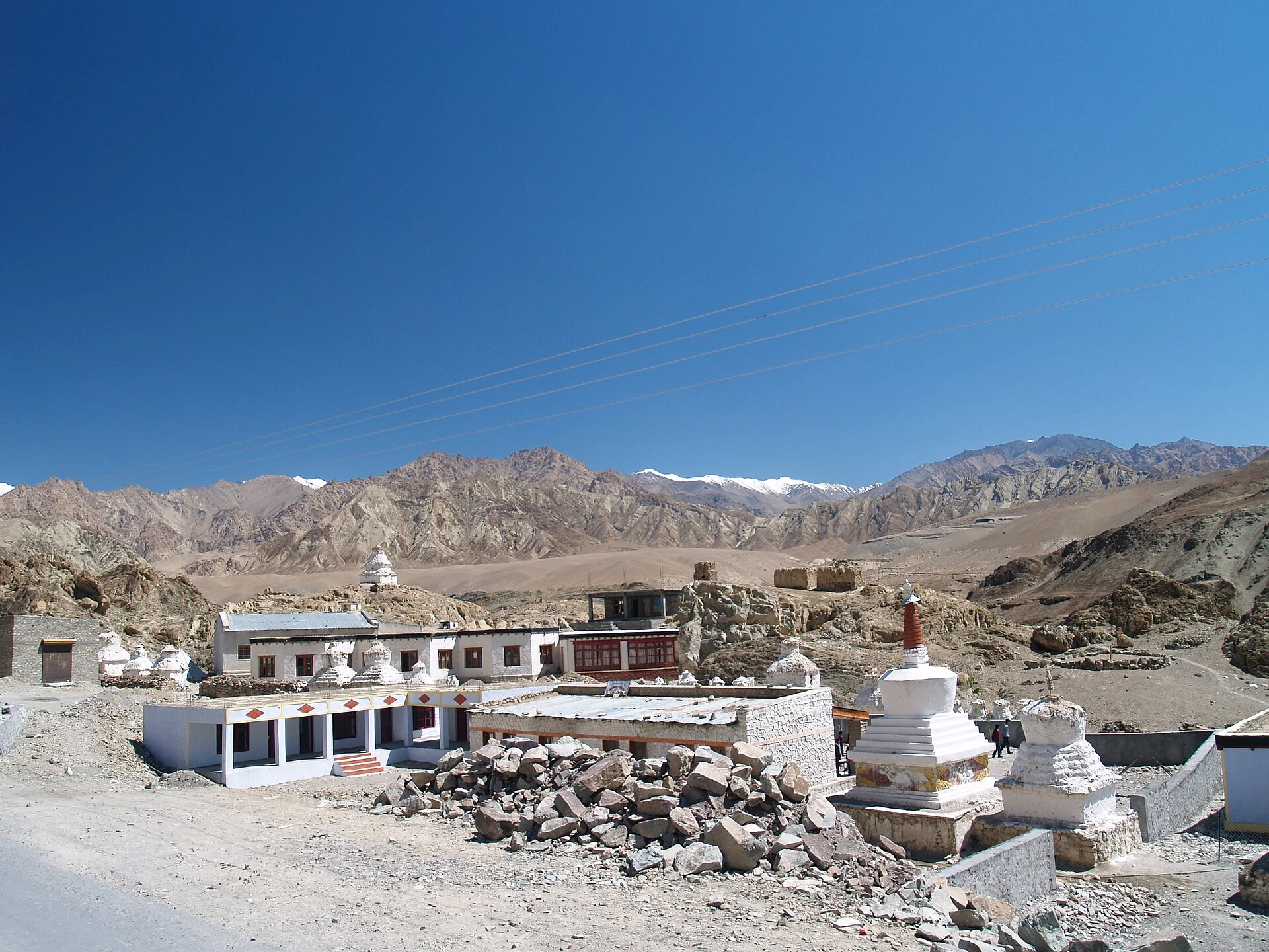
Alchi: Painted Temples and the Art of Western Himalayan Buddhism
Alchi is a Buddhist temple complex in the lower Indus valley, known especially for its painted interiors, sculpture and carved woodwork.
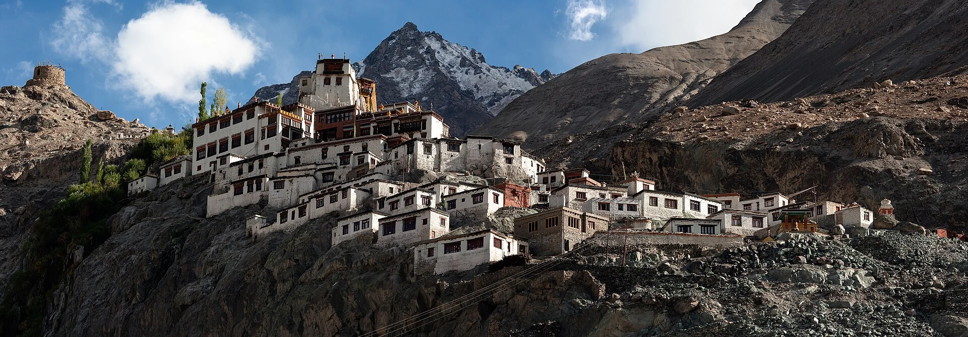
Diskit Monastery: Gelug Heritage and the Nubra Valley
Nubra’s Gelug monastery, hillside architecture, community life and the newer district classification.
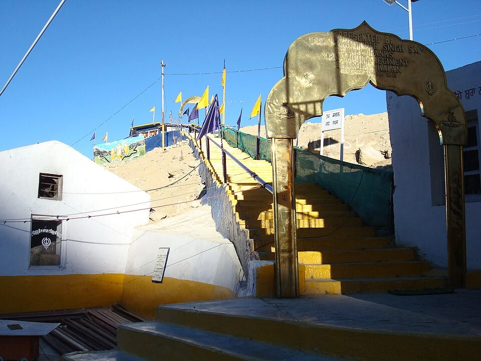
Gurdwara Pathar Sahib: Sikh Tradition in the Indus Valley
Gurdwara Pathar Sahib is a Sikh place of worship in the Indus-valley corridor west of Leh.