
Suru River: Water and Settlement in the Kargil Region
The Suru River is a mountain river in the Kargil region of Ladakh. It is central to the Suru valley's settlement and cultivated landscape and continues towards the wider Indus drainage system. A river profile should distinguish the named watercourse from the valley, road and administrative district that surround it.
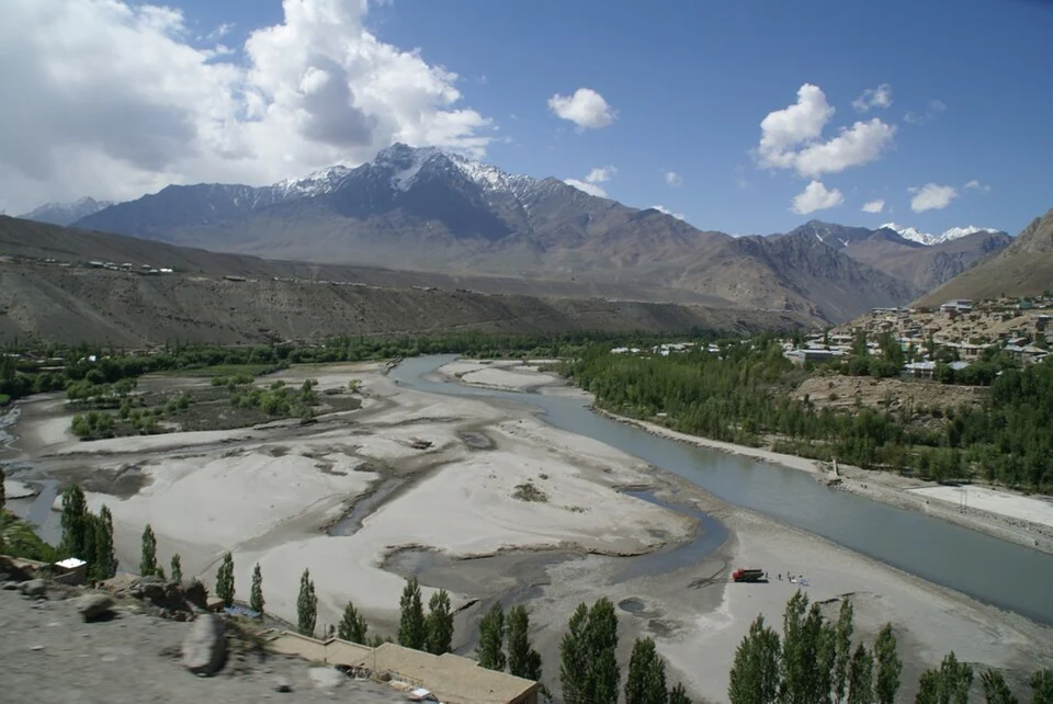
The Suru River is a mountain river in the Kargil region of Ladakh. It is central to the Suru valley's settlement and cultivated landscape and continues towards the wider Indus drainage system. A river profile should distinguish the named watercourse from the valley, road and administrative district that surround it.[1]
Valley and cultivation
The Kargil administration identifies places such as Sankoo and Panikhar in its Suru Valley account. Their cultivated ground and mountain setting show a Ladakh landscape that differs from a simple image of uniformly bare desert. Watercourses, fields and settlements form connected parts of that geography.[2]
Reference descriptions associate the upper Suru system with the mountain and glacier landscape near the Zanskar approaches. Tributaries and confluences connect reaches with different local names. The photograph supplied here is source-identified near Kargil, rather than claimed as a complete view of the upper catchment.[1]
A working landscape
Fields visible beside a river can suggest the importance of water, but the photograph alone does not establish the irrigation arrangements for every plot. Canal records, local accounts and seasonal observation provide additional evidence. Cultivation is an activity maintained by people, not merely a patch of colour in a panorama.
The river corridor also carries roads linking settlements. A road along the valley and the river itself have different access conditions. A directions service may identify a settlement while leaving an unsuitable approach to the channel unexamined.
Seasonal river appearance should retain its date. Exposed stones, strong flow or snow on surrounding slopes are evidence of one photographed moment. They cannot independently establish a constant level or the conditions for a current journey.
Read Kargil District, Padum and Zanskar River for adjoining geographical subjects. Namika La covers a separate pass corridor. The map is a representative Kargil-area marker, not the river's entire course, a verified public riverbank entrance or an authorised recreation starting point.
Image and map record
Image: Bart-Willem via Wikimedia Commons. Licence: CC BY-SA 2.0. Recorded capture date: 2007-05-23 09:56:59. Resized and converted to WebP; image content unchanged. This is a dated view, not confirmation of the site’s present appearance.

Map marker: 33.832917, 76.21861. Source-recorded representative Suru river reach; not the full course, source, mouth or a surveyed public riverbank entrance. View location on OpenStreetMap · View Google Maps · Google directions · OpenStreetMap directions.
Research checked: 14 October 2026. For a visit, confirm current access, transport and opening information with the relevant authorities. This encyclopedia profile provides geographical and historical context.
Sources & references
[1] Reference overview: Suru River (Indus)
https://en.wikipedia.org/wiki/Suru_River_(Indus) ↗
[2] Kargil administration: Suru valley
https://kargil.nic.in/tourist-place/suru-valley/ ↗
Image and licence
Related reading
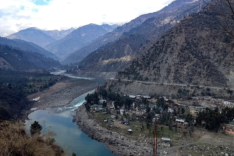
Chenab River: A Mountain River across the Jammu Region
The Chenab is a major Himalayan river flowing through the Jammu region. Its mountain valleys connect settlements, bridges and hydroelectric projects,
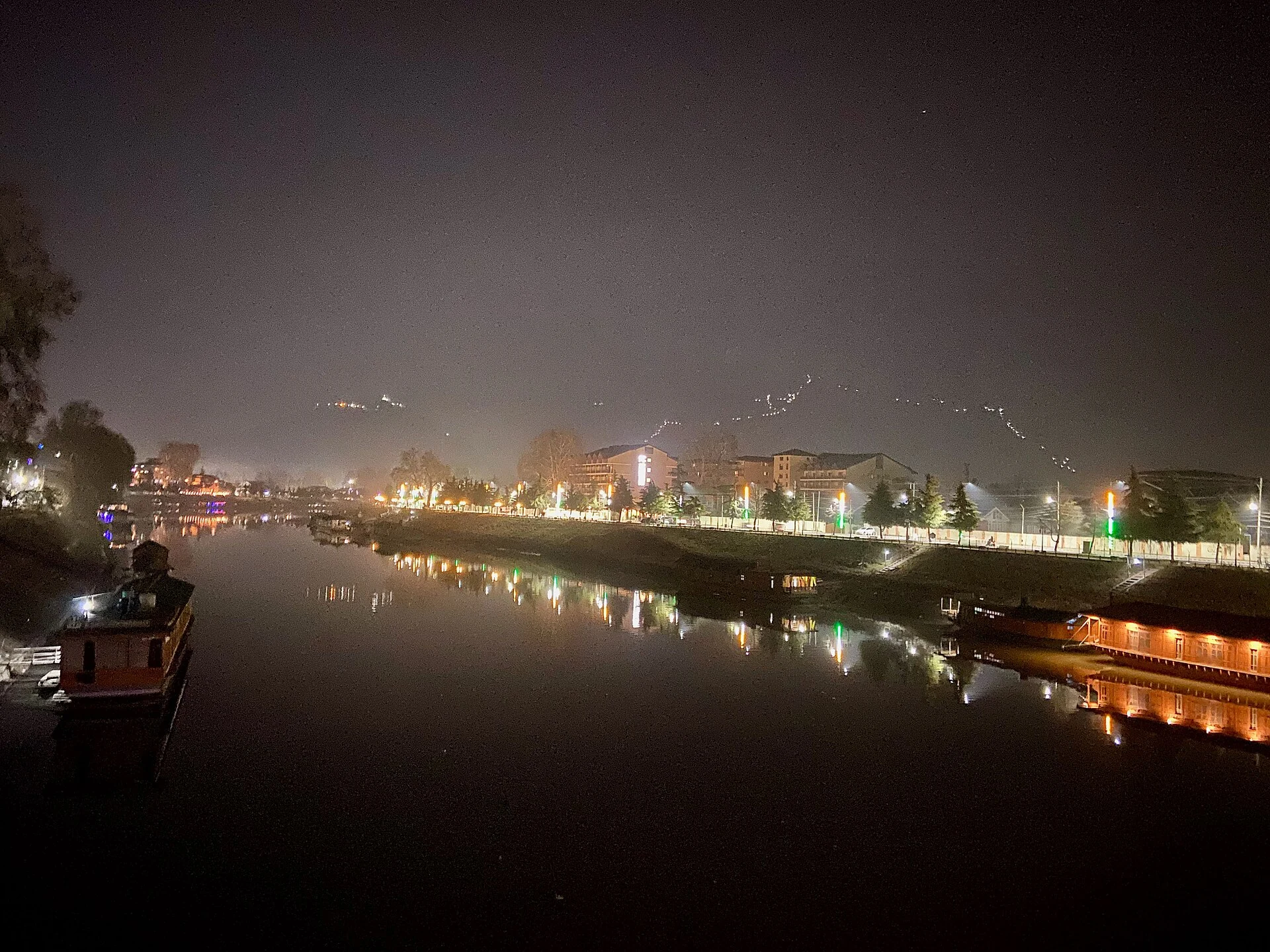
Jhelum River in Srinagar: Vyath, Crossings and Riverfront Heritage
The urban Jhelum, its place in regional drainage, bridges and connections with Srinagar’s built heritage.
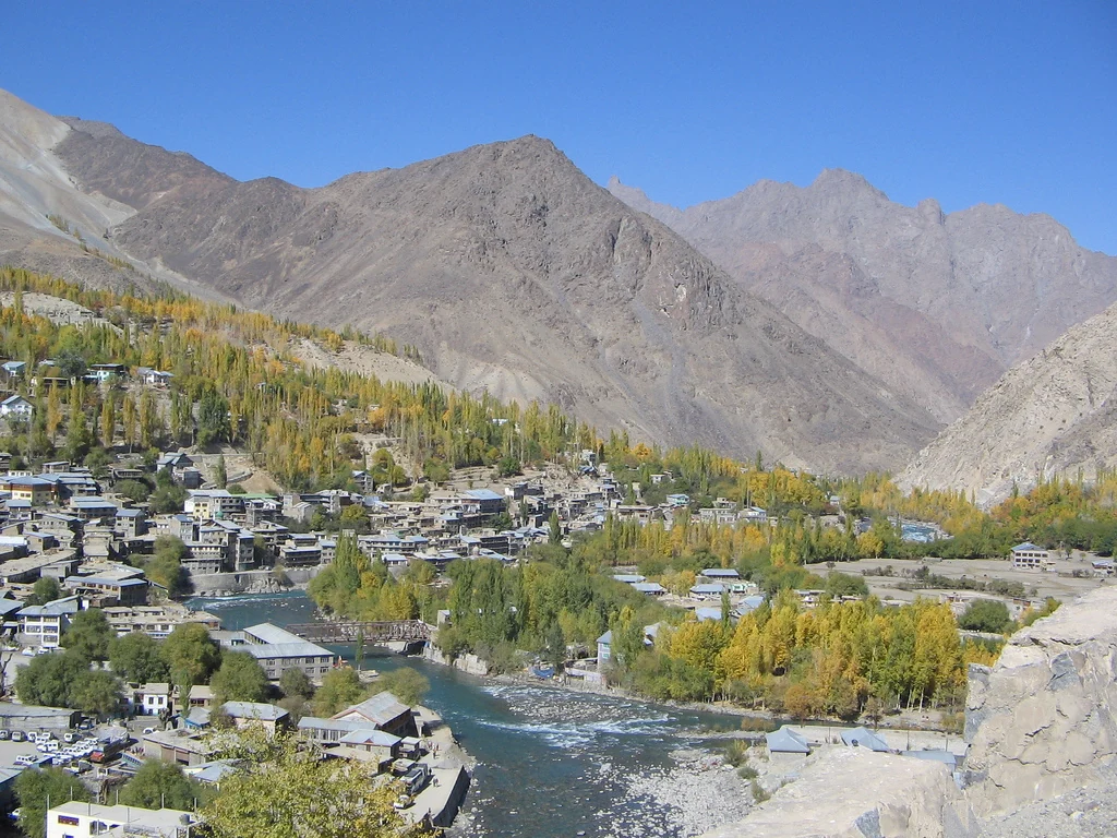
Kargil District: Settlement, Trade and Administrative History
Kargil’s district history, mountain settlement, trade heritage and the distinction between older descriptions and the 2026 district changes.