
Overa–Aru Wildlife Sanctuary: Habitat above the Lidder Valley
Overa–Aru Wildlife Sanctuary is a protected landscape associated with the Lidder valley and the Pahalgam–Aru area of Anantnag district. Its name connects two localities, while the sanctuary itself extends beyond one village or visitor meadow. Settlement, habitat and administrative protection should therefore be described at their different scales.
Overa–Aru Wildlife Sanctuary is a protected landscape associated with the Lidder valley and the Pahalgam–Aru area of Anantnag district. Its name connects two localities, while the sanctuary itself extends beyond one village or visitor meadow. Settlement, habitat and administrative protection should therefore be described at their different scales.[1]
Valley and habitat
The Wildlife Institute of India's protected-area database records Overa Aru as a wildlife sanctuary. Such a listing establishes the conservation designation, while its dated area and notification information should be retained when compared with other published figures.[2]
Research on bird diversity in the sanctuary provides a more focused ecological source. A field study identifies observations made under a particular method and period; it is not a guarantee that all recorded species will be visible at every season or viewpoint.[3]
Aru and the wider protected area
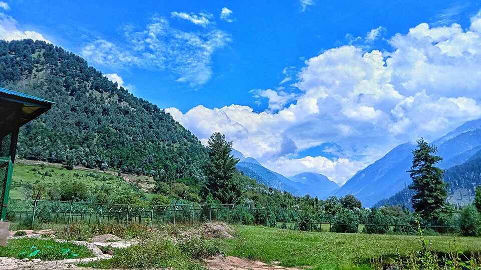
Aru village appears prominently in tourist photographs. Its inhabited landscape and open ground offer one view of the area's geography, but a village panorama should not stand in for a map of the whole sanctuary. Forested slopes, waterways and other ground need their own records.
Tourism and conservation descriptions also have different purposes. A destination page may highlight a meadow, while a habitat survey examines vegetation or birds. Reading them together can provide a fuller picture without transferring every tourism claim into a scientific account.
Published sanctuary sizes and establishment dates differ across brief reference summaries. This profile avoids choosing an unexplained figure from those competing accounts. A fuller administrative history should use the relevant notification and management records rather than merge reserve and sanctuary dates into one event.
Read Pahalgam, Sheshnag Lake and Dachigam for distinct nearby and comparative subjects. The marker gives Aru-area orientation, not a legal boundary, wildlife-viewing guarantee or surveyed entrance. Current movement and activity arrangements should come from the responsible authorities; map-generated directions do not establish permission to enter every part of a protected landscape.
Image and map record
Image: Suhayl091 via Wikimedia Commons. Licence: CC BY 4.0. Recorded capture date: 27 August 2022 (according to Exif data). Resized and converted to WebP; image content unchanged. This is a dated view, not confirmation of the site’s present appearance.

Map marker: 34.11, 75.2475. Source-recorded location for orientation; not a surveyed boundary, verified public entrance, current access guarantee or authorised stopping point. View location on OpenStreetMap · View Google Maps · Google directions · OpenStreetMap directions.
Research checked: 14 October 2026. For a visit, confirm current access, transport and opening information with the relevant authorities. This encyclopedia profile provides geographical and historical context.
Sources & references
[1] Reference overview: Overa-Aru Wildlife Sanctuary
https://en.wikipedia.org/wiki/Overa-Aru_Wildlife_Sanctuary ↗
[2] Wildlife Institute of India: wildlife-sanctuary database
https://wiienvis.nic.in/Database/wls_8230.aspx ↗
[3] Studies on bird diversity of Overa–Aru Wildlife Sanctuary, field-research paper
Image and licence
https://commons.wikimedia.org/wiki/File:Overa-Aru_Wildlife_Sanctuary_6.jpg ↗
Related reading
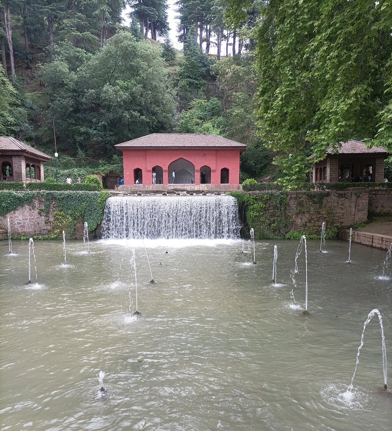
Achabal Garden: Spring-fed Terraces and Mughal Design
Achabal Garden is a Mughal garden in Anantnag district, arranged around a spring at the foot of a hill.
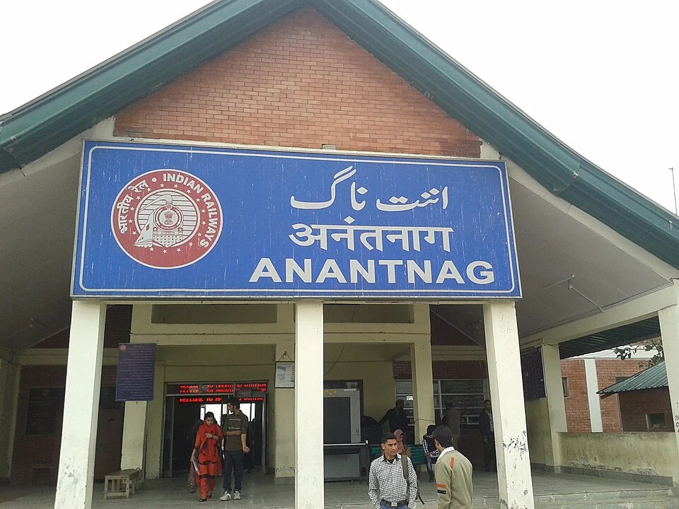
Anantnag Railway Station: Rail Access in Southern Kashmir
Anantnag railway station is a rail access point for southern Kashmir. It serves the Anantnag area within the Kashmir Valley corridor and is identified
Anantnag: Town, Springs and Southern Kashmir
Anantnag is a major town and district headquarters in southern Kashmir. The name also refers to the surrounding district, so town history and district