
Jamia Masjid, Srinagar: Worship, Timber Architecture and History
A sourced introduction to Nowhatta’s congregational mosque, its architecture and successive historical phases.
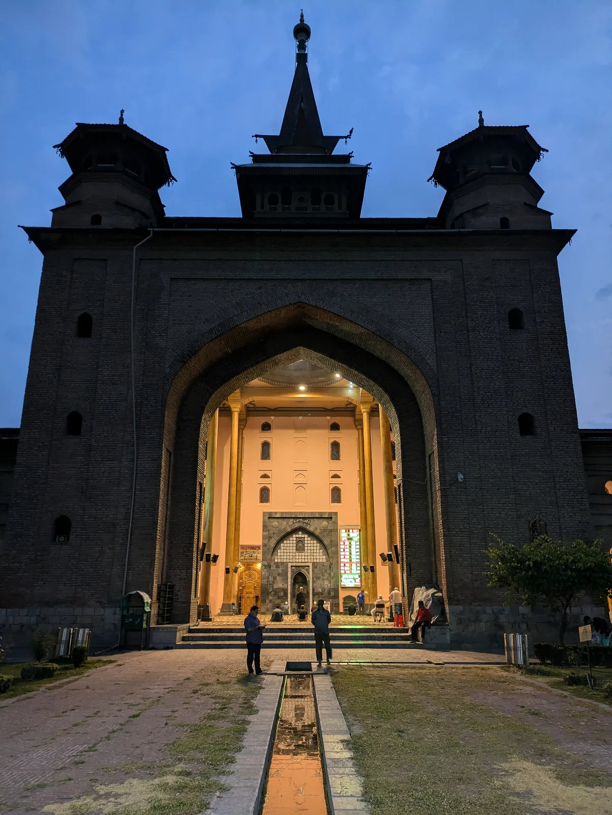
The congregational mosque of Nowhatta
Jamia Masjid is a major congregational mosque at Nowhatta in Srinagar’s old city. Its significance includes worship, architecture and the history of civic life. The referenced historical account places its commission under Sultan Sikandar in 1394 and completion in 1402. These dates concern the establishment of the mosque; they should not be used to suggest that every visible part of the present structure is original. [1]
“Jamia” is used for congregational mosques in many places, so the location is essential to identification. This entry concerns the Srinagar mosque, not a similarly named building elsewhere. Nowhatta provides the neighbourhood context within which its entrances, surrounding streets and courtyard should be understood.
Timber, roofs and courtyard
The historical reference describes a quadrangular arrangement with roofed elements and spacious halls. Timber, brick and stone appear among its materials, with deodar particularly associated with its architecture. The Ministry of Tourism’s city overview likewise identifies wooden architecture as a distinguishing feature of Jamia Masjid. [1][2]
The courtyard and enclosing built spaces produce a relationship between open air and sheltered prayer areas. A visitor interested in architecture can examine that relationship without entering a space reserved for worshippers. Roof profiles and structural supports deserve attention in their own right, rather than being judged against an expectation that every important mosque must use the same dome-and-minaret design.
A building with repeated historical phases
Fire, repair and reconstruction form part of the mosque’s recorded history. The Srinagar Heritage account describes rebuilding across successive periods, illustrating why architectural heritage must distinguish a founding date from later fabric. Preservation can involve continuity of use as well as material repair. [3]
The historical reference also records restrictions on worship during part of the nineteenth-century Sikh period and describes the mosque’s later role in public debate. These are dimensions of its history rather than a statement about today’s access. A current visit requires current information. [1]
A place of worship and a living precinct
The Srinagar Heritage account emphasises the mosque’s place in the old city and advises respect for prayer and local customs. It should be approached as an active religious place, not simply a monument to be photographed. Visitor movement and photography should fit the arrangements communicated by those responsible for the site. [3]
Respectful observation includes asking before photographing individuals, following instructions about shoes and dress, and avoiding disruption of prayer. If a particular space is closed to visitors, a photograph or guidebook describing earlier access does not override that restriction. These are practical considerations for a working religious building.
Photograph and location
The photograph accompanying this entry shows an entrance at Jamia Masjid in June 2024, according to the source’s recorded date. The lighting and architectural outline document one view of the building, not a full interior survey. It is a different photograph from the eastern-facade image supplied with Segment 001. The creator and reuse licence remain visibly credited. [4]
![[4]](https://commons.wikimedia.org/wiki/File:Jamia_Masjid,_Srinagar_2.jpg)
The map point follows the location in the historical reference. It marks the mosque approximately, not the correct entry route for every visitor. Street access, entry permissions and any event-related arrangements should be checked locally. [1]
Connections within Srinagar
Compare this entry with Hazratbal Shrine. Both are important to Srinagar’s Islamic religious landscape, but their buildings, histories and devotional associations differ. The Jhelum River article introduces the city’s riverfront, while the district overview places these subjects within the region’s broader cultural geography. Cross-references support comparison without turning distinct sites into duplicate descriptions.
Photograph credit and map
Photograph: SerCrappucino, via Wikimedia Commons, CC BY-SA 4.0. Resized and converted to WebP; no scene elements altered. Recorded date: 29 June 2024 (according to Exif data).
Map marker: Representative mosque coordinate from secondary reference; entry route must be checked locally.
For regional airport, railway and bus connections, consult the district transport guide.
Research date: 13 October 2026. Confirm changing access arrangements before travelling.
Sources & references
[1] Jamia Masjid — secondary historical/geographical reference
https://en.wikipedia.org/wiki/Jamia_Masjid,_Srinagar ↗
[2] Ministry of Tourism — Srinagar
https://www.incredibleindia.gov.in/en/jammu-and-kashmir/srinagar ↗
[3] Srinagar Heritage — Jamia Masid
https://www.srinagarheritage.in/p/jamia-masid ↗
[4] Photograph source and licence
https://commons.wikimedia.org/wiki/File:Jamia_Masjid,_Srinagar_2.jpg ↗
[5] District Srinagar — regional transport guide
Related reading
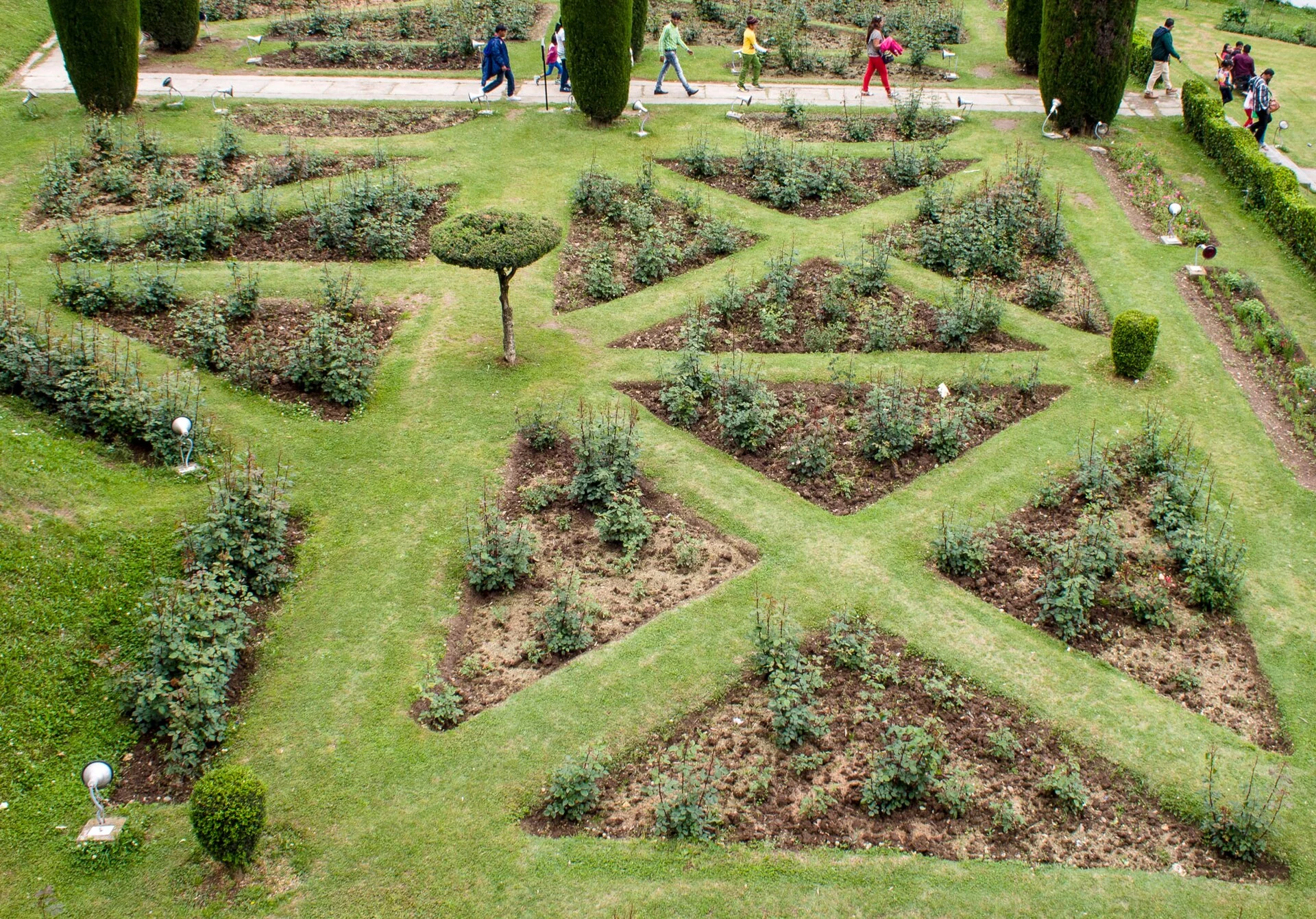
Chashma Shahi: The Royal Spring and Its Mughal Garden
The spring-centred design, Mughal commission, traditions and setting of Chashma Shahi.
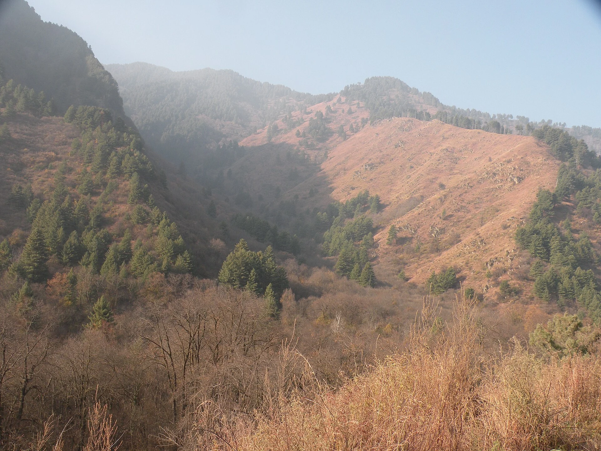
Dachigam National Park: Landscape, Hangul and Conservation
Dachigam’s protection history, varied terrain, water connections and wildlife-conservation context.
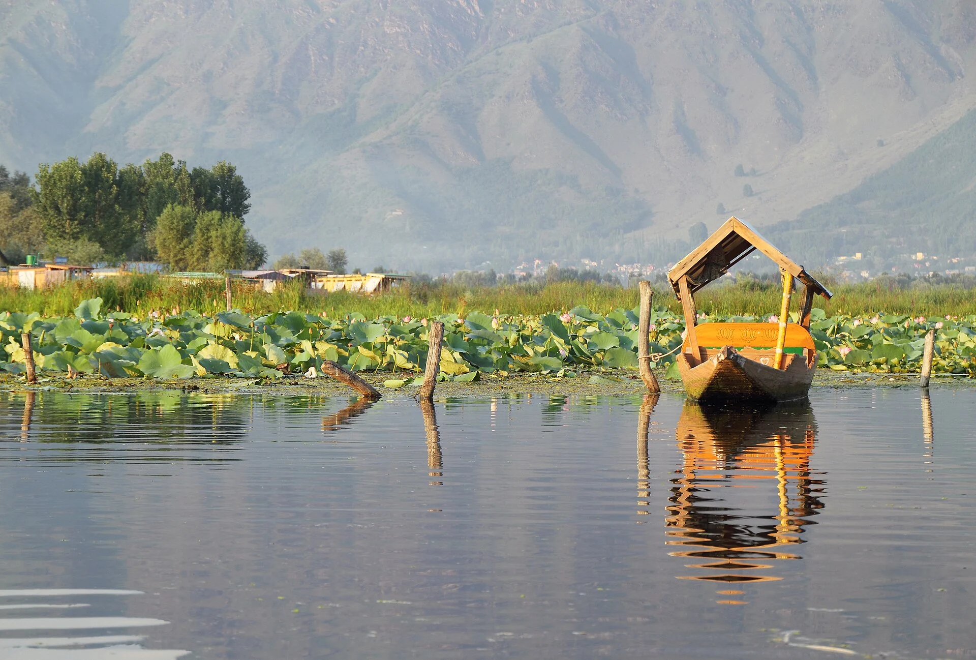
Dal Lake: Waterways, Floating Gardens and Life on the Lake
An introduction to Dal Lake’s connected basins, working waterscape, floating gardens, boats and cultural setting.