
Martand Sun Temple: Ruins, Royal Patronage and Kashmiri Architecture
The early medieval solar temple’s royal associations, central shrine, enclosure and surviving archaeological evidence.
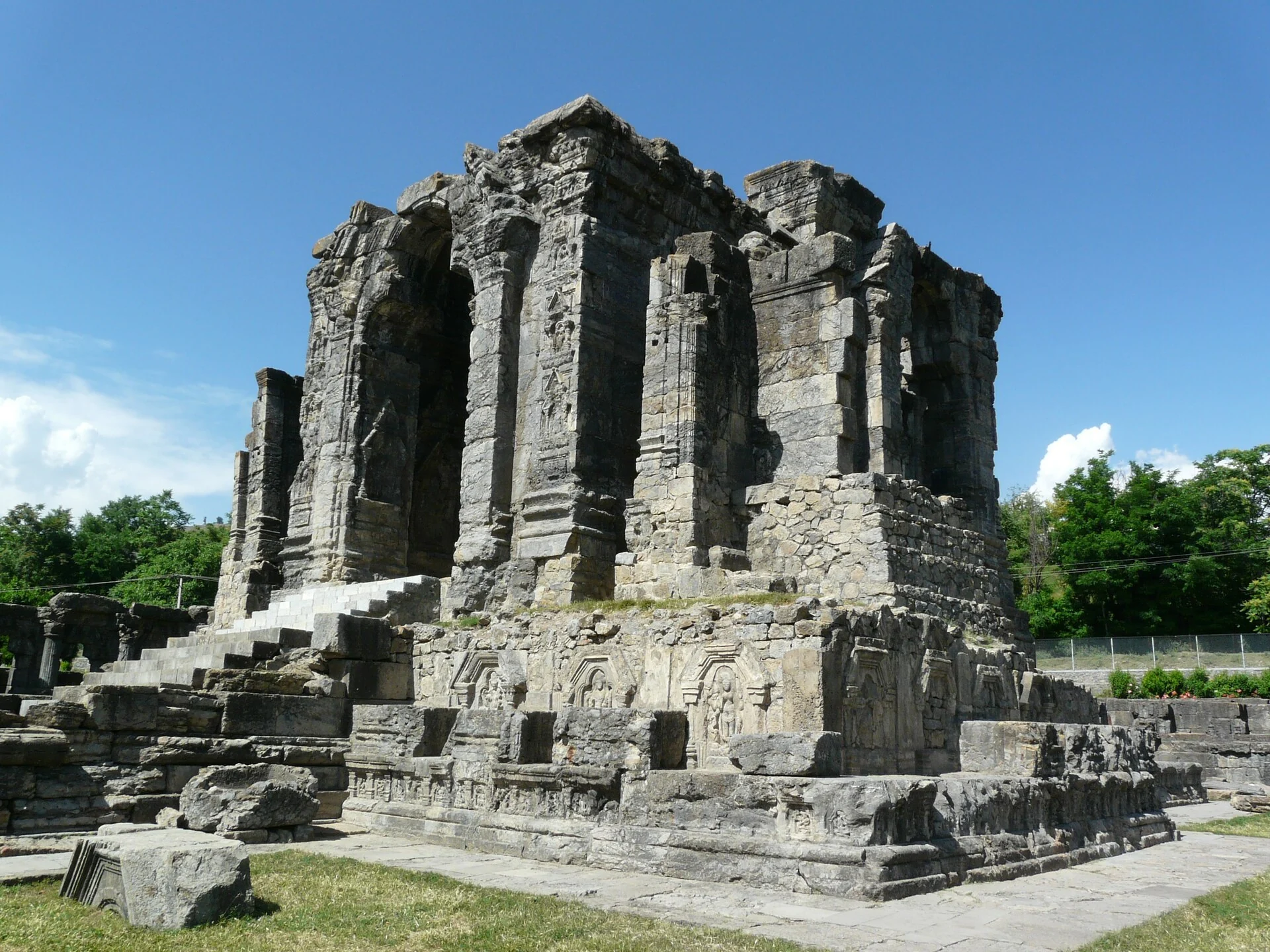
Martand Sun Temple is an archaeological temple complex near Mattan in Anantnag district. Dedicated to Surya, the Hindu solar deity, it is associated with Kashmir’s early medieval royal and architectural history. Its ruined condition is part of what a visitor sees today: standing walls, the central shrine and the surrounding court reveal the arrangement of a larger building without preserving every element that once completed it.[1]
Royal association and chronology
The secondary historical account connects the temple with King Lalitaditya Muktapida of the Karkota dynasty in the eighth century. The association is transmitted through historical writing, including the chronicle tradition. It provides a context for the monument, but a royal date alone does not explain all phases of construction, use, alteration and decay at the site. Those questions also depend on architectural and archaeological evidence.[2]
The Ministry of Tourism identifies Martand as a nationally important archaeological monument. Its overview introduces the solar dedication and the site’s architectural character. This is a different form of recognition from a claim that the site is inscribed as a UNESCO World Heritage property. Monument status, historical importance and international designation should not be treated as interchangeable labels.[1]
The central shrine and its court
The surviving layout includes a principal shrine within a large colonnaded enclosure. The secondary architectural account describes a substantial court with subsidiary shrines around its perimeter. This relationship between centre and surrounding space is more useful for understanding the complex than a photograph of one isolated doorway. The visitor is looking at an organised ensemble rather than the remains of a single small temple standing alone.[2]
In the accompanying photograph, the standing stonework creates a contrast between solid masonry and openings towards the sky. Missing roofs and broken upper portions change the experience of the building. It is possible to appreciate the surviving geometry without assuming that today’s open-air appearance was the original architectural intention. Reconstructing the lost elevations requires evidence beyond visual imagination.
Reading the monument’s history carefully
The IGNCA archaeological resource records Martand as a specific heritage site. Together with the architectural remains, such documentation provides a basis for further study. Accounts of destruction and subsequent damage belong to a more complicated historical discussion involving chronicles, later interpretations and physical deterioration. This entry does not reduce that history to an unsupported explanation of every broken stone.[3]
The district’s tourism page also identifies the temple near Anantnag and encourages attention to the courtyard and carvings. Its general travel material should be read separately from the monument’s history, particularly where older railway information has not been revised. Current access or conservation work needs a dated statement from the relevant authority, not an assumption based on the age of a destination page.[4]
What the visible architecture allows us to compare
The central shrine and the surrounding court create a relationship between an individual sacred focus and a larger ordered enclosure. Seen from within the court, the main structure has a different effect from a view looking through one doorway. These changes in viewpoint are useful for understanding why a temple complex cannot be fully represented by one close-up of a carving.
The photograph illustrates how massive standing members and empty openings remain together in the ruined composition. Their contrast makes the surviving arrangement legible, but it also reveals the limits of the evidence: an opening with the sky behind it may once have related to a roofed or enclosed space. Architectural interpretation should preserve that possibility without drawing a complete lost building from imagination.
Compare Awantipora’s temples for another early medieval royal complex and Krimchi for stone temple architecture in the Jammu hills. Sri Pratap Singh Museum introduces the different evidence provided by collected objects, while Verinag follows a later architectural relationship with water in the same district.
Photograph and map record
Photograph: Varun Shiv Kapur from New Delhi, India via Wikimedia Commons. Licence: CC BY 2.0. Recorded capture date: 2011-06-04 15:36. Resized and converted to WebP; scene content unchanged. This is a dated view, not confirmation of the site’s present appearance.
.jpg)
Map marker: 33.74555556, 75.22027778. Representative coordinate from the secondary geographical reference; not a surveyed boundary or a verified accessible entrance. View location on OpenStreetMap · View Google Maps · Google directions · OpenStreetMap directions.
Research checked: 14 October 2026. For a visit, confirm current access, transport and opening information with the relevant authorities. This encyclopedia profile provides geographical and historical context.
Sources & references
[1] Primary place or institutional account
https://www.incredibleindia.gov.in/en/jammu-and-kashmir/anantnag/martand-sun-temple ↗
[2] Secondary historical and geographical reference
https://en.wikipedia.org/wiki/Martand_Sun_Temple ↗
[3] IGNCA — Martand archaeological record
[4] District Anantnag — Martand Sun Temple
https://anantnag.nic.in/tourist-place/martand-sun-temple/ ↗
Photograph and licence
https://commons.wikimedia.org/wiki/File:Martand_Sun_Temple_Central_shrine_(6133772365).jpg ↗
Related reading
Achabal Garden: Spring-fed Terraces and Mughal Design
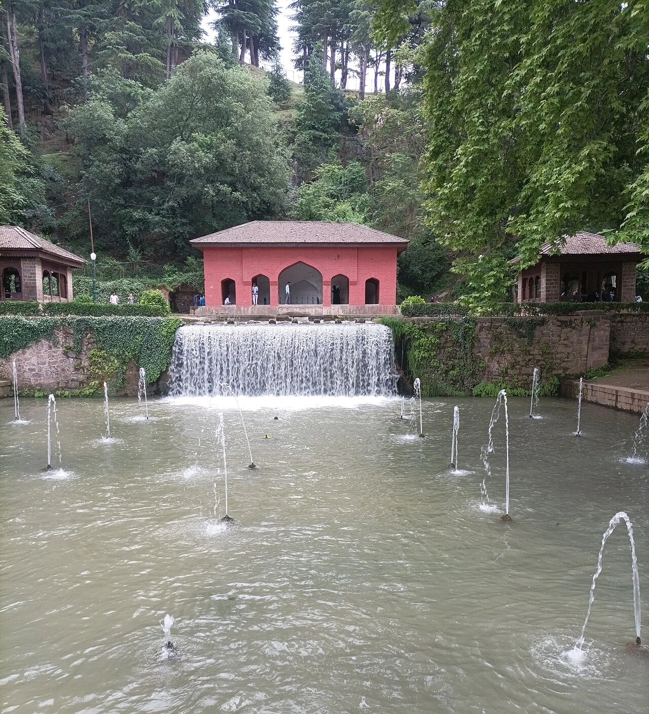
Achabal Garden is a Mughal garden in Anantnag district, arranged around a spring at the foot of a hill.

Awantipora Temples: Avantivarman and the Archaeology of a Royal Town
The distinction between Avantiswami and Avantishwara and their association with Avantivarman’s royal town.
Kashmir Willow: Trees, Timber and Cricket-bat Making
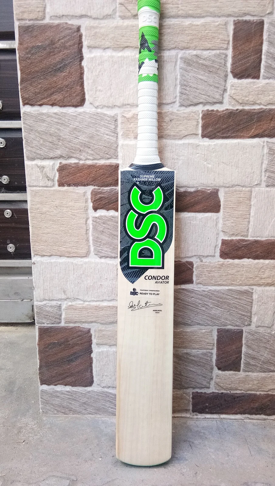
Kashmir willow is associated with the production of cricket-bat timber and the work of bat makers in the Kashmir Valley.
Referenced by
- Awantipora Temples: Avantivarman and the Archaeology of a Royal Town
- Shankaracharya Temple: Hilltop Worship and Srinagar’s Sacred Landscape
- Sri Pratap Singh Museum: Objects and the History of Kashmir
- Krimchi Temples: Stone Architecture in the Udhampur Hills
- Alchi: Painted Temples and the Art of Western Himalayan Buddhism